5 Marchwood Avenue, Manchester, M21 0TZ
About 5 Marchwood Avenue
5 Marchwood Avenue is a three-bedroom semi-detached house in Manchester (M21 0TZ). It has a recorded floor area of 92 m² (around 990 sq ft), construction records dating it to 1950-1966 and council tax band C. The latest certificate (November 2024) shows a C (score 72). When first surveyed in June 2009 the rating was D, the property has climbed 1 band since. Between certificates, wall efficiency went from Poor to Average, roof efficiency went from Average to Good and lighting went from Average to Very Good. The recommended improvements would push it to B (score 86).
Held since March 1997 — that's 29 years off the open market, well above the local norm. Only one transfer is on record with HM Land Registry, suggesting it has stayed in the same hands for a long time. Today's modelled estimate of £350,000 sits 614.3% above the 1997 sale of £49,000. On a £-per-square-foot basis, the last sale (£49/sq ft) was about 64% below the postcode norm.
Know exactly what you're buying at 5 Marchwood Avenue
Before you offer, see what the listing won't tell you, the true value, the red flags and the full history.
Already flagged here
Valuation
against the asking price
Risks
planning & flood
Sold prices
similar homes nearby
Trends
the local market
What this property has
Inside
- Bedrooms3
- Bathrooms1
- Dining roomYes
- FireplaceYes
Outside
- Private gardenYes
Building
- Heating systemGas
Energy performance
EPC Rating
Property Improvements
Changes detected from historical EPC data
Heating controls upgraded for better temperature management
Cavity wall insulation installed
Loft insulation upgraded to recommended levels
More low energy lighting installed
Planning history
5 Marchwood Avenue has no planning applications on record.
Notable planning nearby
4applications of note in the surrounding area
We flagged 1 thing worth checking at 5 Marchwood Avenue
Independent checks surfaced things a buyer would want to understand before offering. The report explains each one in full, with the underlying data and what to ask.
- Larger development activity nearby
30-day money-back guarantee
Sales history & valuation
5 Marchwood Avenue's modelled value sits at over four times its earliest registered sale price (1997).
£350,000
Modelled from EPC, postcode comparables.
£49,000
Recorded with HM Land Registry.
Sales timeline
7 March 1997Most recent
£49,000
Median price across the last 5 sales in M21 0TZ: £120,000 (2025–2001).
Nearby sales in M21 0TZ
1 Marchwood Avenue, Manchester, M21 0TZ
Sold May 2025
£120,0007 Marchwood Avenue, Manchester, M21 0TZ
Sold Sept 2007
£250,0004 Marchwood Avenue, Manchester, M21 0TZ
Sold Jun 2004
£165,0009 Marchwood Avenue, Manchester, M21 0TZ
Sold Jan 1999
£48,00015 Marchwood Avenue, Manchester, M21 0TZ
Sold May 1997
£40,000
Everything we know about 5 Marchwood Avenue, in one report
What it's really worth, what could be wrong, and the planning, sales and area data in full.
What we flagged
- Larger development activity nearby

Versus other Marchwood Avenue homes
EPC Rating for 5 Marchwood Avenue runs comfortably ahead of the street norm.
EPC Rating
72 (C)
Street avg 60 (D)
Floor Area
92 m²
Street avg 94 m²
CO₂ Emissions
2.8 t/year
Street avg 4.6 t/year
Habitable Rooms
4 rooms
Street avg 5 rooms
Similar properties nearby
1 Lisburn Avenue
M21 0TQ
1 Marchwood Avenue
M21 0TZ
1 Desford Avenue
M21 0TG
1 Kildare Road
M21 0YG
1 Selborne Road
M21 0BL
1 Clarendon Road West
M21 0RN
10 Clarendon Road West
M21 0RW
1 White Moss Avenue
M21 0XU
The neighbourhood at a glance
Rail-style transport is unusually close for this postcode.
Nearest stop
0.1 km
Russell Avenue — bus stop.
Closest school
0.4 km
St Margaret's CofE Primary School. 48 schools nearby.
Go deeper on the local area
The full report breaks down crime, transport links, schools and air quality in depth.
Road noise across the postcode
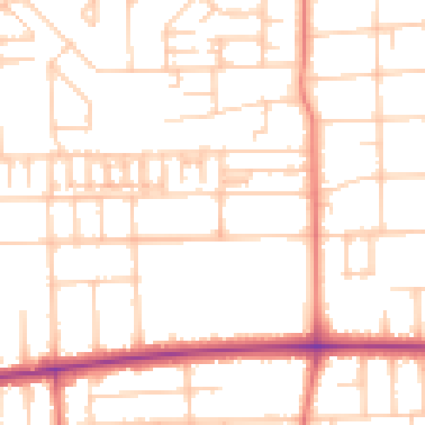
Daytime· 07:00 – 23:00
51.2dB

Night-time· 23:00 – 07:00
40.2dB