5 Avonlea Drive, Manchester, M19 1AH
About 5 Avonlea Drive
5 Avonlea Drive is a property in Manchester (M19 1AH). It has council tax band C.
One planning record on file: an extension approved in 2016. Past consents include an extension, meaningful when judging how the property has evolved. Last sale on file: £137,950 in April 2022. That sale was during the post-pandemic price surge, when transactions cleared materially above pre-2020 trend.
Know exactly what you're buying at 5 Avonlea Drive
Before you offer, see what the listing won't tell you, the true value, the red flags and the full history.
Already flagged here
Valuation
against the asking price
Risks
planning & flood
Sold prices
similar homes nearby
Trends
the local market
Energy performance
No EPC on record
This property doesn't have an Energy Performance Certificate yet. An EPC is required to sell or let — and unlocks our automated valuation.
Planning history
- May 2016ExtensionFullIn report
Extension: Part single, part two storey
Erection of a single storey rear extension and two storey side extension to form additional living accommodation.
- Documents
- 7 docs on file
- Reference
- 111606/FH/2016/S2
We flagged 1 thing worth checking at 5 Avonlea Drive
Independent checks surfaced things a buyer would want to understand before offering. The report explains each one in full, with the underlying data and what to ask.
- Larger development activity nearby
30-day money-back guarantee
Sales history & valuation
5 Avonlea Drive's sale-price growth has lagged the wider UK trajectory across its history on file.
£137,950
Recorded with HM Land Registry.
Sales timeline
21 April 2022Most recent
£137,950
19 December 2003
£137,950
Median price across the last 5 sales in M19 1AH: £280,000 (2024–2017).
Nearby sales in M19 1AH
Everything we know about 5 Avonlea Drive, in one report
What it's really worth, what could be wrong, and the planning, sales and area data in full.
What we flagged
- Larger development activity nearby

Similar properties nearby
The neighbourhood at a glance
Rail-style transport is unusually close for this postcode.
Nearest stop
0.1 km
Kingsway — bus stop.
Closest school
0.3 km
Green End Primary School. 52 schools nearby.
Go deeper on the local area
The full report breaks down crime, transport links, schools and air quality in depth.
Road noise across the postcode
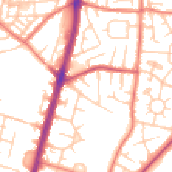
Daytime· 07:00 – 23:00
52.6dB

Night-time· 23:00 – 07:00
41.6dB