347h, Stretford Road, Manchester, M15 4AY
About 347h
347h is a mid-terrace house in Manchester (M15 4AY). It has a recorded floor area of 68 m² (around 732 sq ft), construction records dating it to 1996-2002 and council tax band B. The latest certificate (October 2023) shows a D (score 67), on the cusp of jumping into the C band. The rating has held steady at D across 10 certificates since October 2008. Between certificates, hot-water efficiency went from Poor to Average and lighting went from Very Poor to Very Good; while window efficiency dropped from Good to Average. The recommended improvements would push it to C (score 71). Main heating runs on electricity. At 68 m² this is the 61st smallest of 70 units on EPC record in the building, where floor areas span 43–81 m². The building's EPC ratings span E to B across 70 units on file.
Held since October 1998 — that's 28 years off the open market, well above the local norm. Only one transfer is on record with HM Land Registry, suggesting it has stayed in the same hands for a long time. Today's modelled estimate of £194,000 sits 226.1% above the 1998 sale of £59,500. On a £-per-square-foot basis, the last sale (£81/sq ft) was about 34.3% below the postcode norm. At 68 m² it's 25.9% larger than the typical home in the postcode (54 m² median across 69 EPCs). It lags the bulk of the postcode on energy efficiency (less efficient than 80% of similar EPCs).
Everything you need to know about 347h
The true value, the hidden risks and the full sale history, in one report.
30-day money-back guarantee

The data behind every report


Energy performance
EPC Rating
Property Improvements
Changes detected from historical EPC data
Hot water efficiency improved
More low energy lighting installed
More low energy lighting installed
Low energy lighting percentage decreased
More low energy lighting installed
Wall insulation upgraded
More low energy lighting installed
Heating system changed
Heating controls upgraded for better temperature management
Heating system upgraded to a more efficient system
Heating controls changed
Cavity wall insulation installed
Planning history
347h has no planning applications on record.
Notable planning nearby
3applications of note in the surrounding area
We flagged 1 thing worth checking at 347h
Independent checks surfaced things a buyer would want to understand before offering. The report explains each one in full, with the underlying data and what to ask.
- Larger development activity nearby
30-day money-back guarantee
Sales history & valuation
347h's estimated value is more than triple its earliest registered sale price (1998).
£194,000
Modelled from EPC, postcode comparables.
£59,500
Recorded with HM Land Registry.
Sales timeline
22 October 1998Most recent
£59,500
Median price across the last 5 sales in M15 4AY: £180,000 (2025–2023).
Nearby sales in M15 4AY
357b, Stretford Road, Manchester, M15 4AY
Sold Sept 2025
£192,000353c, Stretford Road, Manchester, M15 4AY
Sold Mar 2025
£165,000347d, Stretford Road, Manchester, M15 4AY
Sold Jan 2024
£198,700347f, Stretford Road, Manchester, M15 4AY
Sold Nov 2023
£180,000359d, Stretford Road, Manchester, M15 4AY
Sold Sept 2023
£147,500
Versus other Stretford Road homes
347h is notably below the street on co₂ emissions.
Price per m²
£875
Street avg £1,907
Floor Area
68 m²
Street avg 57 m²
Habitable Rooms
4 rooms
Street avg 3 rooms
CO₂ Emissions
3.7 t/year
Street avg 2.4 t/year
Everything you need to know about 347h
The true value, the hidden risks and the full sale history, in one report.
30-day money-back guarantee
The data behind every report
Similar properties nearby
The neighbourhood at a glance
Crime
1/mo
Steady year-on-year across the wider district.
Nearest stop
0.1 km
Mallow Street — bus stop.
Closest school
0.3 km
Rolls Crescent Primary School. 44 schools nearby.
Go deeper on the local area
The full report breaks down crime, transport links, schools and air quality in depth.
Road noise across the postcode
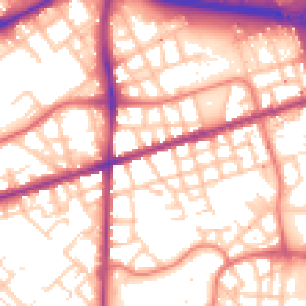
Daytime· 07:00 – 23:00
56.6dB

Night-time· 23:00 – 07:00
47.0dB