345a, Stretford Road, Manchester, M15 4AY
About 345a
345a is a two-bedroom semi-detached house in Manchester (M15 4AY). It has a recorded floor area of 50 m² (around 538 sq ft), construction records dating it to 2003-2006 and council tax band A. The latest certificate (January 2022) shows a C (score 72). The rating has held steady at C across 2 certificates since June 2011. Between certificates, window efficiency went from Average to Good; while hot-water efficiency dropped from Average to Poor and main heating dropped from Average to Very Poor. Main heating runs on electricity. At 50 m² this is the 9th smallest of 70 units on EPC record in the building, where floor areas span 43–81 m². The building's EPC ratings span E to B across 70 units on file.
Last sale on file: £146,000 in October 2022. Across the public record there are 6 sales, relatively high churn for a single property. That sale was during the post-pandemic price surge, when transactions cleared materially above pre-2020 trend. Across 1998–2022, sale prices on this property compounded at 5.2% per year. Today's modelled estimate of £166,000 is 13.7% above the 2022 sale price. On a £-per-square-foot basis, the last sale (£271/sq ft) was about 120.1% above the typical sold price in the postcode.
What this property has
Inside
- Bedrooms2
- Bathrooms1
- Open-plan layoutYes
- Dining roomYes
- CloakroomYes
Outside
- Private gardenYes
- ParkingAllocated
Building
- Heating systemElectric
Everything you need to know about 345a
The true value, the hidden risks and the full sale history, in one report.
30-day money-back guarantee

The data behind every report


Energy performance
EPC Rating
Property Improvements
Changes detected from historical EPC data
Heating system changed
Hot water efficiency decreased
Window efficiency improved
Floor insulation added or improved
Planning history
345a has no planning applications on record.
Notable planning nearby
3applications of note in the surrounding area
We flagged 1 thing worth checking at 345a
Independent checks surfaced things a buyer would want to understand before offering. The report explains each one in full, with the underlying data and what to ask.
- Larger development activity nearby
30-day money-back guarantee
Sales history & valuation
345a has more than tripled in price since its earliest registered sale in 1998.
£166,000
Modelled from EPC, postcode comparables and a sale-price growth of 5.2% per year over 24 years.
£146,000
Growth on file: 5.2% per year over 24 years.
Sales timeline
5 October 2022Most recent
£146,000
+29.8%over 6 years7 July 2016
£112,500
+23.6%over 12 years5 March 2004
£91,000
+37.9%over 2 years18 January 2002
£66,000
+13.8%over 10 months8 March 2001
£58,000
+32.4%over 2 years30 October 1998
£43,800
Median price across the last 5 sales in M15 4AY: £180,000 (2025–2023).
Nearby sales in M15 4AY
357b, Stretford Road, Manchester, M15 4AY
Sold Sept 2025
£192,000353c, Stretford Road, Manchester, M15 4AY
Sold Mar 2025
£165,000347d, Stretford Road, Manchester, M15 4AY
Sold Jan 2024
£198,700347f, Stretford Road, Manchester, M15 4AY
Sold Nov 2023
£180,000359d, Stretford Road, Manchester, M15 4AY
Sold Sept 2023
£147,500
Versus other Stretford Road homes
Price per m² for 345a runs comfortably ahead of the street norm.
Price per m²
£2,920
Street avg £1,873
Floor Area
50 m²
Street avg 57 m²
Habitable Rooms
3 rooms
Street avg 3 rooms
CO₂ Emissions
2.1 t/year
Street avg 2.4 t/year
Everything you need to know about 345a
The true value, the hidden risks and the full sale history, in one report.
30-day money-back guarantee
The data behind every report
Similar properties nearby
The neighbourhood at a glance
Crime
1/mo
Steady year-on-year across the wider district.
Nearest stop
0.1 km
Mallow Street — bus stop.
Closest school
0.3 km
Rolls Crescent Primary School. 44 schools nearby.
Go deeper on the local area
The full report breaks down crime, transport links, schools and air quality in depth.
Road noise across the postcode
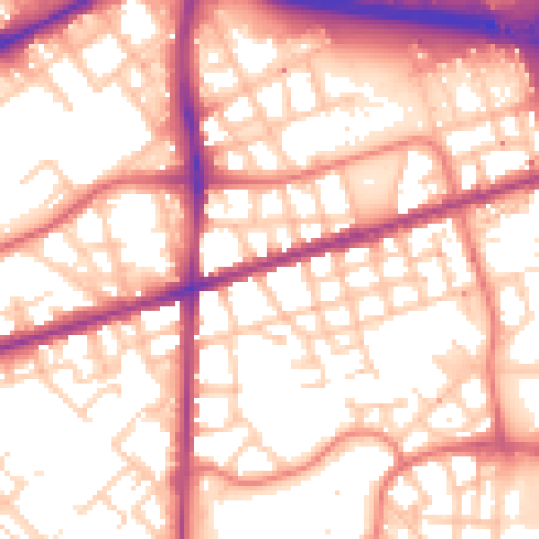
Daytime· 07:00 – 23:00
56.6dB

Night-time· 23:00 – 07:00
47.0dB