2 Evington Avenue, Openshaw, Manchester, M11 1GW
About 2 Evington Avenue
2 Evington Avenue is a semi-detached house in Openshaw, Manchester, Manchester (M11 1GW). It has a recorded floor area of 59 m² (around 635 sq ft), construction records dating it to 1950-1966 and council tax band A. The latest certificate (November 2014) shows an E (score 51), well below the UK norm with real room to improve. The recommended improvements would lift it to B (score 86), a 3-band jump. The latest certificate is from November 2014, so improvements made since then won't be reflected.
It hasn't traded since September 1997, a hold of 29 years that's notably long for the area. Only one transfer is on record with HM Land Registry, suggesting it has stayed in the same hands for a long time. Today's modelled estimate of £164,000 sits 455.9% above the 1997 sale of £29,500. On a £-per-square-foot basis, the last sale (£46/sq ft) was about 68.7% below the postcode norm.
Know exactly what you're buying at 2 Evington Avenue
Before you offer, see what the listing won't tell you, the true value, the red flags and the full history.
Valuation
against the asking price
Risks
planning & flood
Sold prices
similar homes nearby
Trends
the local market
Energy performance
Recommended upgrades on file would lift this property by multiple EPC bands.
EPC Expired
This certificate is over 10 years old and is no longer valid.Expired 08 Nov 2024
EPC Rating
Planning history
2 Evington Avenue has no planning applications on record.
Notable planning nearby
3applications of note in the surrounding area
Sales history & valuation
2 Evington Avenue's modelled value sits at over four times its earliest registered sale price (1997).
£164,000
Modelled from EPC, postcode comparables.
£29,500
Recorded with HM Land Registry.
Sales timeline
11 September 1997Most recent
£29,500
Median price across the last 5 sales in M11 1GW: £100,000 (2021–2003).
Everything we know about 2 Evington Avenue, in one report
What it's really worth, what could be wrong, and the planning, sales and area data in full.
- Am I paying too much?
- Is something wrong with it?
- Is the agent's story true?
- Will it hold its value?

Similar properties nearby
The neighbourhood at a glance
Rail-style transport is unusually close for this postcode.
Nearest stop
0.1 km
Ashbrook Street — bus stop.
Closest school
0.3 km
St Anne's RC Primary School, a Voluntary Academy. 44 schools nearby.
Go deeper on the local area
The full report breaks down crime, transport links, schools and air quality in depth.
Road noise across the postcode
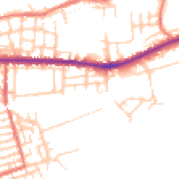
Daytime· 07:00 – 23:00
51.1dB

Night-time· 23:00 – 07:00
41.9dB