32 Chariot Street, Manchester, M11 1DP
About 32 Chariot Street
32 Chariot Street is a mid-terrace house in Manchester (M11 1DP). It has a recorded floor area of 94 m² (around 1012 sq ft), construction records dating it to 1996-2002 and council tax band B. The latest certificate (June 2013) shows a C (score 70). The recommended improvements would push it to B (score 87). The latest certificate is from June 2013, so improvements made since then won't be reflected.
Untraded for 30 years, with the last transfer in December 1995. Only one transfer is on record with HM Land Registry, suggesting it has stayed in the same hands for a long time. Today's modelled estimate of £204,000 sits 716% above the 1995 sale of £25,000. At 94 m² it's 29.8% larger than the typical home in the postcode (72 m² median across 23 EPCs).
Know exactly what you're buying at 32 Chariot Street
Before you offer, see what the listing won't tell you, the true value, the red flags and the full history.
Valuation
against the asking price
Risks
planning & flood
Sold prices
similar homes nearby
Trends
the local market
Energy performance
32 Chariot Street's EPC is over a decade old — improvements since won't be reflected.
EPC Expired
This certificate is over 10 years old and is no longer valid.Expired 26 Jun 2023
EPC Rating
Planning history
32 Chariot Street has no planning applications on record.
Notable planning nearby
3applications of note in the surrounding area
Sales history & valuation
32 Chariot Street's modelled value sits at over four times its earliest registered sale price (1995).
£204,000
Modelled from EPC, postcode comparables.
£25,000
Recorded with HM Land Registry.
Sales timeline
21 December 1995Most recent
£25,000
Everything we know about 32 Chariot Street, in one report
What it's really worth, what could be wrong, and the planning, sales and area data in full.
- Am I paying too much?
- Is something wrong with it?
- Is the agent's story true?
- Will it hold its value?

Versus other Chariot Street homes
Habitable Rooms for 32 Chariot Street runs comfortably ahead of the street norm.
EPC Rating
70 (C)
Street avg 73 (C)
Floor Area
94 m²
Street avg 71 m²
CO₂ Emissions
3.1 t/year
Street avg 2.3 t/year
Habitable Rooms
7 rooms
Street avg 5 rooms
Similar properties nearby
The neighbourhood at a glance
Rail-style transport is unusually close for this postcode.
Nearest stop
0.2 km
Wheler Street — bus stop.
Closest school
0.2 km
Higher Openshaw Community School. 46 schools nearby.
Go deeper on the local area
The full report breaks down crime, transport links, schools and air quality in depth.
Road noise across the postcode
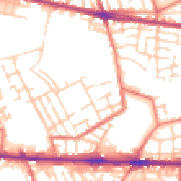
Daytime· 07:00 – 23:00
53.5dB

Night-time· 23:00 – 07:00
43.0dB