28a, Flat, High Street South, Dunstable, LU6 3HA
About 28a
28a is a mid-terrace house in Dunstable (LU6 3HA). It has a recorded floor area of 26 m² (around 280 sq ft), construction records dating it to before 1900 and council tax band A. The latest certificate (June 2017) shows a C (score 75), near the top of the C band.
Held since February 2006 — that's 20 years off the open market, well above the local norm. At 26 m² it's 27.8% smaller than the typical home in the postcode (36 m² median across 7 EPCs). Its energy rating outperforms most of the postcode (better than 71% of similar EPCs). Today's modelled estimate of £155,000 is 29.2% above the 2006 sale price.
Everything you need to know about 28a
The true value, the hidden risks and the full sale history, in one report.
30-day money-back guarantee

The data behind every report


Energy performance
28a's carbon output is low for the local stock.
EPC Rating
Planning history
28a has no planning applications on record.
Notable planning nearby
7applications of note in the surrounding area
We flagged 2 things worth checking at 28a
Independent checks surfaced things a buyer would want to understand before offering. The report explains each one in full, with the underlying data and what to ask.
- Signs of HMO activity in the area
- Larger development activity nearby
30-day money-back guarantee
Sales history & valuation
£155,000
Modelled from EPC, postcode comparables.
£120,000
Recorded with HM Land Registry.
Sales timeline
22 February 2006Most recent
£120,000
Median price across the last 5 sales in LU6 3HA: £157,500 (2022–2003).
Versus other High Street South homes
EPC Rating for 28a runs comfortably ahead of the street norm.
EPC Rating
75 (C)
Street avg 63 (D)
Floor Area
26 m²
Street avg 38 m²
CO₂ Emissions
1.0 t/year
Street avg 2.4 t/year
Habitable Rooms
1 rooms
Street avg 2 rooms
Everything you need to know about 28a
The true value, the hidden risks and the full sale history, in one report.
30-day money-back guarantee
The data behind every report
Similar properties nearby
12 14, Flat A, High Street South
LU6 3HA
19a, Flat 4, High Street South
LU6 3RZ
12 14, Flat D, High Street South
LU6 3HA
19a, Flat 2, High Street South
LU6 3RZ
19a, Flat 3, High Street South
LU6 3RZ
19a, Flat 8, High Street South
LU6 3RZ
12 14, Flat C, High Street South
LU6 3HA
6 Brittany Court, Top Flat, High Street South
LU6 3HR
The neighbourhood at a glance
Crime
3/mo
Steady year-on-year across the wider district.
Nearest stop
0.1 km
West Street — bus stop.
Closest school
0.4 km
Dunstable Icknield Lower School. 25 schools nearby.
Go deeper on the local area
The full report breaks down crime, transport links, schools and air quality in depth.
Road noise across the postcode
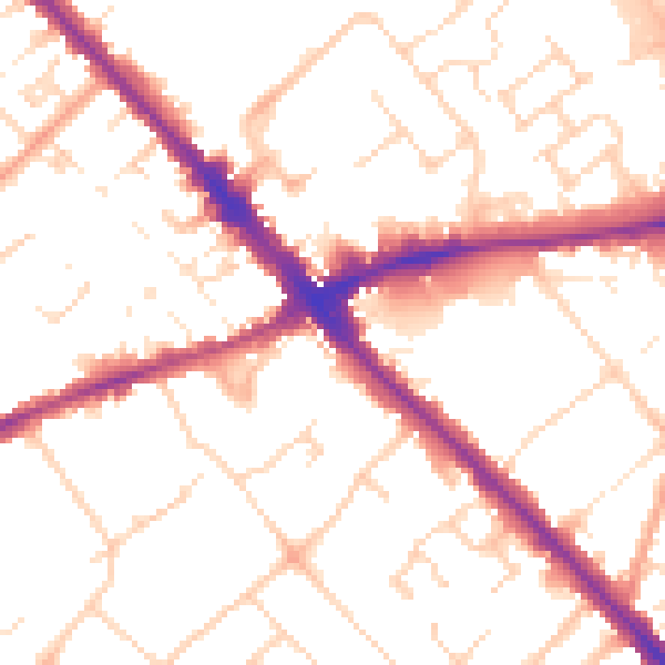
Daytime· 07:00 – 23:00
52.0dB

Night-time· 23:00 – 07:00
42.1dB