23 Burges Close, Dunstable, LU6 3EU
About 23 Burges Close
23 Burges Close is a three-bedroom end-of-terrace house in Dunstable (LU6 3EU). It has a recorded floor area of 90 m² (around 969 sq ft), construction records dating it to 1976-1982 and council tax band C. Tenure is freehold. The latest certificate (October 2024) shows a C (score 69), just inside the C band. The recommended improvements would push it to B (score 84). The home occupies a cul-de-sac position.
It changed hands recently, sold January 2025 for £350,000. At 90 m² it's 23.3% larger than the typical home in the postcode (73 m² median across 19 EPCs). On a £-per-square-foot basis, the last sale (£361/sq ft) was about 68.4% above the typical sold price in the postcode.
What this property has
Inside
- Bedrooms3
- Bathrooms1
- CloakroomYes
Outside
- GarageIntegral
- Cul-de-sacYes
Building
- TenureFreehold
Everything you need to know about 23 Burges Close
The true value, the hidden risks and the full sale history, in one report.
30-day money-back guarantee

The data behind every report


Energy performance
EPC Rating
Planning history
23 Burges Close has no planning applications on record.
Notable planning nearby
7applications of note in the surrounding area
We flagged 2 things worth checking at 23 Burges Close
Independent checks surfaced things a buyer would want to understand before offering. The report explains each one in full, with the underlying data and what to ask.
- Signs of HMO activity in the area
- Larger development activity nearby
30-day money-back guarantee
Sales history & valuation
23 Burges Close valuation sits well clear of the typical sold price in this postcode.
£368,000
Modelled from EPC, postcode comparables.
£350,000
Recorded with HM Land Registry.
Sales timeline
10 January 2025Most recent
£350,000
Median price across the last 5 sales in LU6 3EU: £290,000 (2025–2023).
Nearby sales in LU6 3EU
Versus other Burges Close homes
On floor area, 23 Burges Close stands well clear of the street.
Price per m²
£3,889
Street avg £3,206
Floor Area
90 m²
Street avg 76 m²
Habitable Rooms
5 rooms
Street avg 5 rooms
CO₂ Emissions
3.4 t/year
Street avg 3.4 t/year
Everything you need to know about 23 Burges Close
The true value, the hidden risks and the full sale history, in one report.
30-day money-back guarantee
The data behind every report
Similar properties nearby
1 Burges Close
LU6 3EU
1 Buttercup Close
LU6 3LA
1 Beech Road
LU6 3LY
1 Canesworde Road
LU6 3JJ
1 Bowland Crescent
LU6 3QD
1 Buttermere Avenue
LU6 3PD
1 Appleby Gardens
LU6 3DB
1 Crosby Close
LU6 3BZ
The neighbourhood at a glance
Crime
3/mo
Steady year-on-year across the wider district.
Nearest stop
0.2 km
Churchill Road — bus stop.
Closest school
0.7 km
St Mary's Catholic Primary School. 19 schools nearby.
Go deeper on the local area
The full report breaks down crime, transport links, schools and air quality in depth.
Road noise across the postcode
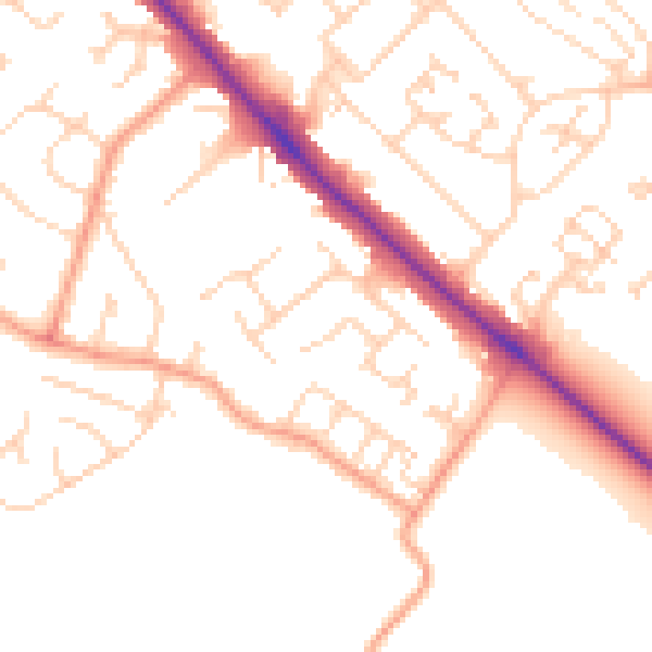
Daytime· 07:00 – 23:00
50.4dB

Night-time· 23:00 – 07:00
40.4dB