21 Burges Close, Dunstable, LU6 3EU
About 21 Burges Close
21 Burges Close is a three-bedroom end-of-terrace house in Dunstable (LU6 3EU). It has a recorded floor area of 72 m² (around 775 sq ft), construction records dating it to 1967-1975 and council tax band C. The latest certificate (April 2017) shows a D (score 57), a step below the typical UK home. The recommended improvements would lift it to B (score 83), a 2-band jump.
It changed hands recently, sold July 2025 for £350,000. Across 1997–2025, sale prices on this property compounded at 6.7% per year. On a £-per-square-foot basis, the last sale (£452/sq ft) was about 108.5% above the typical sold price in the postcode.
What this property has
Inside
- Bedrooms3
- Bathrooms1
- Dining roomYes
Outside
- Private gardenSouth-west-facing
- GarageEn bloc
Everything you need to know about 21 Burges Close
The true value, the hidden risks and the full sale history, in one report.
30-day money-back guarantee

The data behind every report


Energy performance
Recommended upgrades on file would lift this property by multiple EPC bands.
EPC Rating
Planning history
21 Burges Close has no planning applications on record.
Notable planning nearby
7applications of note in the surrounding area
We flagged 2 things worth checking at 21 Burges Close
Independent checks surfaced things a buyer would want to understand before offering. The report explains each one in full, with the underlying data and what to ask.
- Signs of HMO activity in the area
- Larger development activity nearby
30-day money-back guarantee
Sales history & valuation
21 Burges Close has more than quadrupled in price since its earliest registered sale in 1997.
£353,000
Modelled from EPC, postcode comparables and a sale-price growth of 6.7% per year over 28 years.
£350,000
Growth on file: 6.7% per year over 28 years.
Sales timeline
23 July 2025Most recent
£350,000
+32.1%over 7 years3 November 2017
£265,000
+304.6%over 19 years28 July 1998
£65,500
+18.0%over 1 year31 January 1997
£55,500
Median price across the last 5 sales in LU6 3EU: £290,000 (2025–2023).
Nearby sales in LU6 3EU
Versus other Burges Close homes
Price per m² for 21 Burges Close runs comfortably ahead of the street norm.
Price per m²
£4,861
Street avg £3,152
Floor Area
72 m²
Street avg 77 m²
Habitable Rooms
5 rooms
Street avg 5 rooms
CO₂ Emissions
4.0 t/year
Street avg 3.4 t/year
Everything you need to know about 21 Burges Close
The true value, the hidden risks and the full sale history, in one report.
30-day money-back guarantee
The data behind every report
Similar properties nearby
1 Burges Close
LU6 3EU
1 Buttercup Close
LU6 3LA
1 Beech Road
LU6 3LY
1 Canesworde Road
LU6 3JJ
1 Bowland Crescent
LU6 3QD
1 Buttermere Avenue
LU6 3PD
1 Appleby Gardens
LU6 3DB
1 Crosby Close
LU6 3BZ
The neighbourhood at a glance
Crime
3/mo
Steady year-on-year across the wider district.
Nearest stop
0.2 km
Churchill Road — bus stop.
Closest school
0.7 km
St Mary's Catholic Primary School. 19 schools nearby.
Go deeper on the local area
The full report breaks down crime, transport links, schools and air quality in depth.
Road noise across the postcode
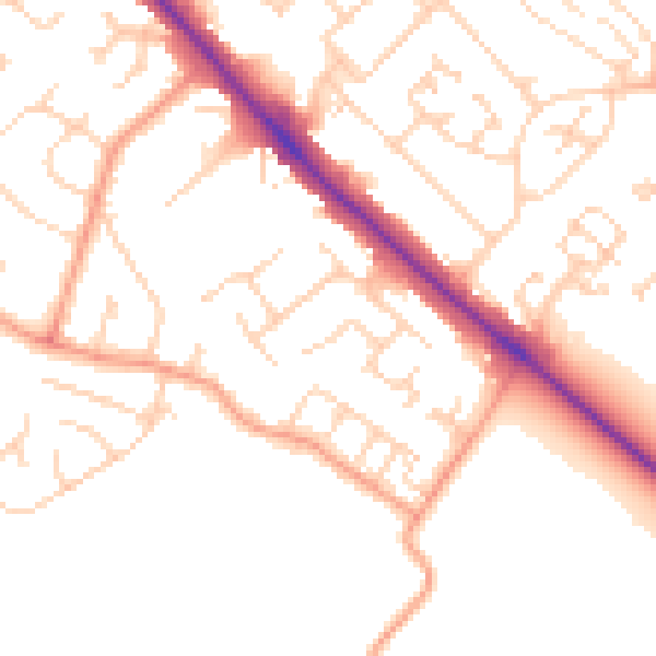
Daytime· 07:00 – 23:00
50.4dB

Night-time· 23:00 – 07:00
40.4dB