14 Birchside, Dunstable, LU6 3EH
About 14 Birchside
14 Birchside is a four-bedroom detached house in Dunstable (LU6 3EH). It has a recorded floor area of 111 m² (around 1194 sq ft), construction records dating it to 1967-1975 and council tax band E. The latest certificate (January 2012) shows a D (score 58), a step below the typical UK home. The recommended improvements would push it to C (score 71). The latest certificate is from January 2012, so improvements made since then won't be reflected. Records show the property has been extended at some point in its history.
At 111 m² the property is well over the postcode median (80 m² across 42 EPCs), placing it in the larger end of the local stock. Today's modelled estimate of £428,000 sits 74% above the 2013 sale of £246,000. 13 years since the last transfer (April 2013).
What this property has
Inside
- Bedrooms4
Outside
- GarageYes
Building
- Previously extendedYes
- RefurbishedYes
Everything you need to know about 14 Birchside
The true value, the hidden risks and the full sale history, in one report.
30-day money-back guarantee

The data behind every report


Energy performance
14 Birchside's EPC is over a decade old — improvements since won't be reflected.
EPC Expired
This certificate is over 10 years old and is no longer valid.Expired 16 Jan 2022
EPC Rating
Planning history
14 Birchside has no planning applications on record.
Notable planning nearby
7applications of note in the surrounding area
We flagged 2 things worth checking at 14 Birchside
Independent checks surfaced things a buyer would want to understand before offering. The report explains each one in full, with the underlying data and what to ask.
- Signs of HMO activity in the area
- Larger development activity nearby
30-day money-back guarantee
Sales history & valuation
14 Birchside valuation sits well clear of the typical sold price in this postcode.
£428,000
Modelled from EPC, postcode comparables.
£246,000
Recorded with HM Land Registry.
Sales timeline
16 April 2013Most recent
£246,000
Median price across the last 5 sales in LU6 3EH: £317,500 (2025–2024).
Versus other Birchside homes
On habitable rooms, 14 Birchside stands well clear of the street.
Price per m²
£2,218
Street avg £2,907
Floor Area
111 m²
Street avg 83 m²
Habitable Rooms
6 rooms
Street avg 4 rooms
CO₂ Emissions
5.6 t/year
Street avg 3.5 t/year
Everything you need to know about 14 Birchside
The true value, the hidden risks and the full sale history, in one report.
30-day money-back guarantee
The data behind every report
Similar properties nearby
1 Appleby Gardens
LU6 3DB
1 Crosby Close
LU6 3BZ
1 Borrowdale Avenue
LU6 3PF
1 Beech Road
LU6 3LY
1 Buttercup Close
LU6 3LA
1 Canesworde Road
LU6 3JJ
1 Burges Close
LU6 3EU
1 Bowland Crescent
LU6 3QD
The neighbourhood at a glance
Crime
3/mo
Steady year-on-year across the wider district.
Nearest stop
0.2 km
Southfields Road — bus stop.
Closest school
0.5 km
Ardley Hill Academy. 19 schools nearby.
Go deeper on the local area
The full report breaks down crime, transport links, schools and air quality in depth.
Road noise across the postcode
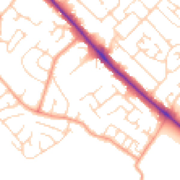
Daytime· 07:00 – 23:00
50.5dB

Night-time· 23:00 – 07:00
39.9dB