72 West Street, Dunstable, LU6 1NX
About 72 West Street
72 West Street is a six-bedroom semi-detached house in Dunstable (LU6 1NX). It has a recorded floor area of 187 m² (around 2016 sq ft), construction records dating it to 1900-1929 and council tax band E. The latest certificate (January 2012) shows a D (score 57), a step below the typical UK home. The latest certificate is from January 2012, so improvements made since then won't be reflected.
At 187 m² the property is well over the postcode median (68 m² across 36 EPCs), placing it in the larger end of the local stock. 6 bedrooms is on the larger side for this postcode, where 3 is the typical count. 3 planning records sit against the property, 2 approved, 0 refused. Past consents include a basement excavation, meaningful when judging how the property has evolved. Across 1995–2018, sale prices on this property compounded at 7.6% per year. Today's modelled estimate of £586,000 is 19.6% above the 2018 sale price. On a £-per-square-foot basis, the last sale (£243/sq ft) was about 42% above the typical sold price in the postcode. Sold December 2018 for £490,000.
What this property has
Inside
- Bedrooms6
- Bathrooms2
- Dining roomYes
Outside
- Private gardenRear
- ParkingOff street
Building
- RefurbishedYes
Everything you need to know about 72 West Street
The true value, the hidden risks and the full sale history, in one report.
30-day money-back guarantee

The data behind every report


Energy performance
72 West Street's carbon output runs well above what efficient homes in the postcode produce.
EPC Expired
This certificate is over 10 years old and is no longer valid.Expired 25 Jan 2022
EPC Rating
Planning history
- Jan 2006BasementFullIn report
FORMATION OF BEDROOM IN BASEMENT AND CREATION OF LIGHT WELL.
- Reference
- SB/05/01211
- Apr 2004
We flagged 2 things worth checking at 72 West Street
Independent checks surfaced things a buyer would want to understand before offering. The report explains each one in full, with the underlying data and what to ask.
- Signs of HMO activity in the area
- Larger development activity nearby
30-day money-back guarantee
Sales history & valuation
72 West Street has more than quadrupled in price since its earliest registered sale in 1995.
£586,000
Modelled from EPC, postcode comparables and a sale-price growth of 7.6% per year over 23 years.
£490,000
Growth on file: 7.6% per year over 23 years.
Sales timeline
19 December 2018Most recent
£490,000
+447.5%over 23 years17 August 1995
£89,500
Median price across the last 5 sales in LU6 1NX: £285,000 (2025–2021).
Nearby sales in LU6 1NX
Versus other West Street homes
72 West Street outperforms the street on floor area by a wide margin.
Price per m²
£2,617
Street avg £2,511
Floor Area
187 m²
Street avg 87 m²
Habitable Rooms
11 rooms
Street avg 5 rooms
CO₂ Emissions
10.0 t/year
Street avg 5.3 t/year
Everything you need to know about 72 West Street
The true value, the hidden risks and the full sale history, in one report.
30-day money-back guarantee
The data behind every report
Similar properties nearby
1 Castle Hill Road, Totternhoe
LU6 1RG
1 Bridgewater Close, Totternhoe
LU6 1GN
1 Brightwell Avenue, Totternhoe
LU6 1QT
1 Campian Close
LU6 1UD
1 Cheyne Close
LU6 1BX
1 Cowslip Crescent, Sewell
LU6 1RP
1 Aldbanks
LU6 1AH
1 Aidans Close
LU6 1TY
The neighbourhood at a glance
Crime
3/mo
Steady year-on-year across the wider district.
Nearest stop
0.1 km
St Marys Church — bus stop.
Closest school
0.2 km
Ashton St Peter's VA C of E School. 23 schools nearby.
Go deeper on the local area
The full report breaks down crime, transport links, schools and air quality in depth.
Road noise across the postcode
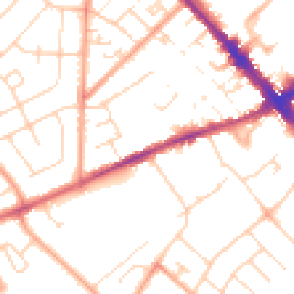
Daytime· 07:00 – 23:00
50.7dB

Night-time· 23:00 – 07:00
40.1dB