146b, West Street, Dunstable, LU6 1NX
About 146b
146b is a one-bedroom semi-detached house in Dunstable (LU6 1NX). It has a recorded floor area of 59 m² (around 635 sq ft). The latest certificate (February 2019) returns a B (score 82), comfortably above the UK average. The recommended improvements would push it to A (score 96). The property has underfloor heating on record, all of which lower running costs and tend to lift resale appeal.
On energy efficiency it sits in the top 10% of properties in this postcode. Last sale on file: £220,800 in February 2021. Across the public record there are 4 sales, relatively high churn for a single property. That sale was during the post-pandemic price surge, when transactions cleared materially above pre-2020 trend. Across 2008–2021, sale prices on this property compounded at 0.8% per year. Today's modelled estimate of £261,000 is 18.2% above the 2021 sale price. On a £-per-square-foot basis, the last sale (£348/sq ft) was about 124.5% above the typical sold price in the postcode.
What this property has
Inside
- Bedrooms1
- Bathrooms1
- Open-plan layoutYes
- Dining roomYes
- CloakroomYes
Outside
- Private gardenRear
- ParkingAllocated
Building
- Central heatingYes
- Underfloor heatingYes
Everything you need to know about 146b
The true value, the hidden risks and the full sale history, in one report.
30-day money-back guarantee

The data behind every report


Energy performance
146b ranks among the most efficient homes in the postcode for energy use.
EPC Rating
Planning history
146b has no planning applications on record.
Notable planning nearby
7applications of note in the surrounding area
We flagged 2 things worth checking at 146b
Independent checks surfaced things a buyer would want to understand before offering. The report explains each one in full, with the underlying data and what to ask.
- Signs of HMO activity in the area
- Larger development activity nearby
30-day money-back guarantee
Sales history & valuation
146b changed hands twice within eighteen months — unusual for the area.
£261,000
Modelled from EPC, postcode comparables and a sale-price growth of 0.8% per year over 12 years.
£220,800
Growth on file: 0.8% per year over 12 years.
Sales timeline
19 February 2021Most recent
£220,800
-4.0%over 1 year1 November 2019
£230,000
24 September 2017
£230,000
+15.0%over 8 years21 November 2008
£200,000
Median price across the last 5 sales in LU6 1NX: £285,000 (2025–2021).
Nearby sales in LU6 1NX
Versus other West Street homes
146b outperforms the street on epc rating by a wide margin.
Price per m²
£3,742
Street avg £2,454
Floor Area
59 m²
Street avg 92 m²
CO₂ Emissions
1.1 t/year
Street avg 5.7 t/year
Years Held
5 years
Street avg 12 years
Everything you need to know about 146b
The true value, the hidden risks and the full sale history, in one report.
30-day money-back guarantee
The data behind every report
Similar properties nearby
1 Aynscombe Close
LU6 1FA
1 Catchacre
LU6 1QD
1 Bank Avenue
LU6 1FR
1 Brook Close
LU6 1HD
1 Beecroft Way
LU6 1ED
1 Albion Mews, Albion Street
LU6 1SH
1 Benning Avenue
LU6 1PH
1 Church Green, Totternhoe
LU6 1RF
The neighbourhood at a glance
Crime
3/mo
Steady year-on-year across the wider district.
Nearest stop
0.1 km
St Marys Church — bus stop.
Closest school
0.2 km
Ashton St Peter's VA C of E School. 23 schools nearby.
Go deeper on the local area
The full report breaks down crime, transport links, schools and air quality in depth.
Road noise across the postcode
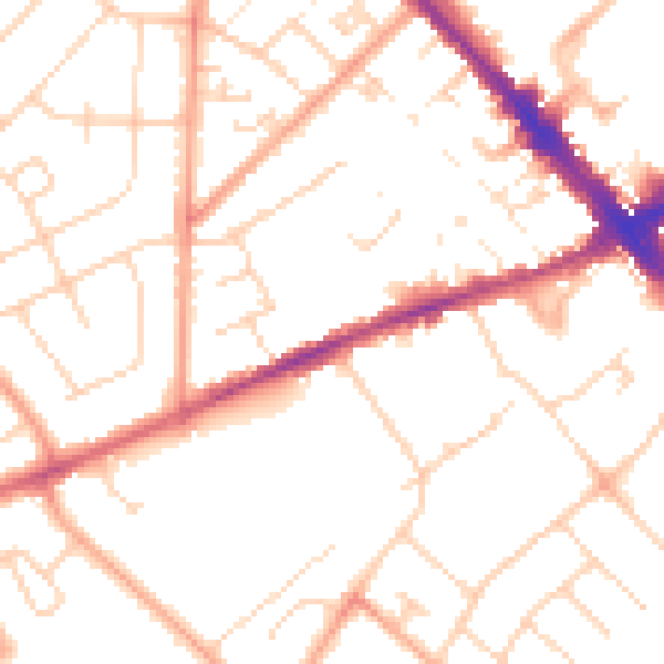
Daytime· 07:00 – 23:00
50.7dB

Night-time· 23:00 – 07:00
40.1dB