Skip to content

146a, West Street, Dunstable, LU6 1NX

EPC B
Property type
Semi-detached
Floor area
59 m²
635 sq ft
Energy rating
B
Score 82
Overview

About 146a

A plain-English summary derived from public records, EPC certificates, sold prices and local data.

146a is a semi-detached house in Dunstable (LU6 1NX). It has a recorded floor area of 59 m² (around 635 sq ft). The latest certificate (February 2019) returns a B (score 82), comfortably above the UK average. The recommended improvements would push it to A (score 96).

On energy efficiency it sits in the top 10% of properties in this postcode. Today's modelled estimate of £268,000 is 21.8% above the 2019 sale price. On a £-per-square-foot basis, the last sale (£346/sq ft) was about 102.9% above the typical sold price in the postcode. Most recent transfer: September 2019 at £220,000.

Before you decide

Everything you need to know about 146a

The true value, the hidden risks and the full sale history, in one report.

Signs of HMO activity in the areaLarger development activity nearby
£14.99one-off

30-day money-back guarantee

Preview of the full property report

The data behind every report

  • HM Land Registry, source of sold price history
  • Department for Education, source of schools data
  • Police.uk, source of crime statistics
  • Department for Transport, source of stations and transport links
  • Environment Agency, source of flood risk data
  • Department for Environment, Food & Rural Affairs, source of road noise data
  • PlanIt, source of planning application records
Energy

Energy performance

Every EPC certificate filed against this property — current rating, recorded improvements, and where there's headroom to reach a higher band.

146a ranks among the most efficient homes in the postcode for energy use.

EPC Rating

A
B
B82
C
D
E
F
G
Main Heating
Gas
Main Fuel
Gas
Hot Water
Good
Windows
Very Good
CO2 Emissions
1.1 t/year
Occupancy
Planning

Planning history

Applications and permits filed against 146a, West Street, Dunstable, LU6 1NX, sourced from the PlanIt planning register.

146a has no planning applications on record.

Notable planning nearby

7applications of note in the surrounding area

Before you offer

We flagged 2 things worth checking at 146a

Independent checks surfaced things a buyer would want to understand before offering. The report explains each one in full, with the underlying data and what to ask.

  • Signs of HMO activity in the area
  • Larger development activity nearby
£14.99

30-day money-back guarantee

Price

Sales history & valuation

Recorded transactions, our model's current estimate, and a quick read on what neighbouring properties have sold for.

146a valuation sits well clear of the typical sold price in this postcode.

Current estimate

£268,000

Modelled from EPC, postcode comparables.

See how we calculated this
Last sold (2019)

£220,000

Recorded with HM Land Registry.

Sales timeline

  1. 19 September 2019Most recent

    £220,000

Median price across the last 5 sales in LU6 1NX: £285,000 (2025–2021).

On the street

Versus other West Street homes

Four headline reads against 24 similar houses on this street, drawn from the latest EPC and Land Registry data.

EPC Rating for 146a runs comfortably ahead of the street norm.

Price per m²

£3,729

Street avg £2,455

Strongly above

Floor Area

59 m²

Street avg 92 m²

Strongly below

CO₂ Emissions

1.1 t/year

Street avg 5.7 t/year

Strongly above

Years Held

7 years

Street avg 12 years

Below
Before you decide

Everything you need to know about 146a

The true value, the hidden risks and the full sale history, in one report.

Signs of HMO activity in the areaLarger development activity nearby
£14.99one-off

30-day money-back guarantee

Preview of the full property report

The data behind every report

  • HM Land Registry, source of sold price history
  • Department for Education, source of schools data
  • Police.uk, source of crime statistics
  • Department for Transport, source of stations and transport links
  • Environment Agency, source of flood risk data
  • Department for Environment, Food & Rural Affairs, source of road noise data
  • PlanIt, source of planning application records
Area

The neighbourhood at a glance

A condensed read of the local area. Each tile links through to the full breakdown on the Dunstable district page.

Crime

3/mo

Steady year-on-year across the wider district.

Nearest stop

0.1 km

St Marys Church — bus stop.

Closest school

0.2 km

Ashton St Peter's VA C of E School. 23 schools nearby.

Go deeper on the local area

The full report breaks down crime, transport links, schools and air quality in depth.

Noise

Road noise across the postcode

Modelled day and night-time noise levels around LU6 1NX from Defra's strategic mapping. The pin marks this postcode's centroid.
Daytime road noise heatmap for LU6 1NX

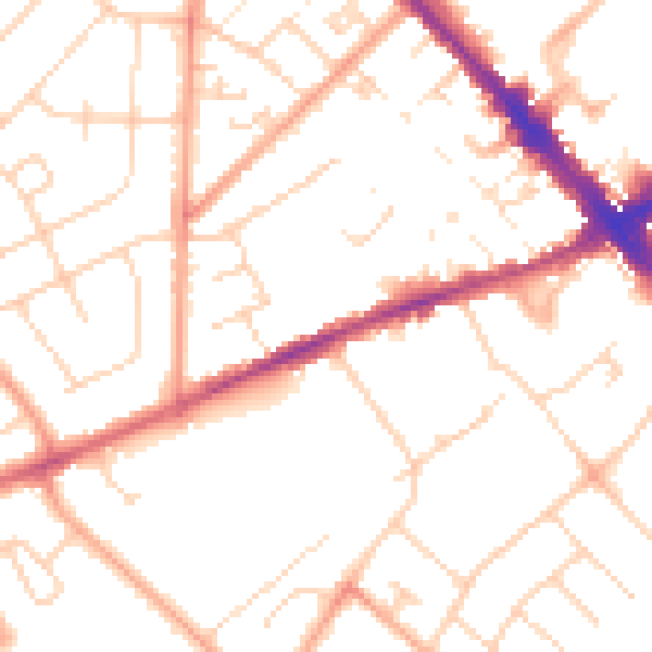
Daytime· 07:00 – 23:00

50.7dB

Low
Night-time road noise heatmap for LU6 1NX

Night-time· 23:00 – 07:00

40.1dB

Low
55 dB
60 dB
65 dB
70 dB
75 dB
80 dB
Defra Road Noise Strategic Mapping, Round 4
FAQ

Common questions

The questions buyers, sellers and homeowners most often ask about 146a, West Street, Dunstable, LU6 1NX. Each answer is also embedded as structured data for search engines.