45 Spinney Crescent, Dunstable, LU6 1AR
About 45 Spinney Crescent
45 Spinney Crescent is a three-bedroom semi-detached house in Dunstable (LU6 1AR). It has a recorded floor area of 87 m² (around 936 sq ft), construction records dating it to 1950-1966 and council tax band C. The latest certificate (September 2016) shows a C (score 70). The recommended improvements would push it to B (score 85).
Today's modelled estimate of £341,000 sits 70.5% above the 2017 sale of £200,000. Last sold in January 2017, so it's been off the market for around 9 years.
What this property has
Inside
- Bedrooms3
- Dining roomYes
Outside
- GarageDouble
Building
- RefurbishedYes
Everything you need to know about 45 Spinney Crescent
The true value, the hidden risks and the full sale history, in one report.
30-day money-back guarantee

The data behind every report


Energy performance
EPC Rating
Planning history
45 Spinney Crescent has no planning applications on record.
Notable planning nearby
7applications of note in the surrounding area
We flagged 2 things worth checking at 45 Spinney Crescent
Independent checks surfaced things a buyer would want to understand before offering. The report explains each one in full, with the underlying data and what to ask.
- Signs of HMO activity in the area
- Larger development activity nearby
30-day money-back guarantee
Sales history & valuation
45 Spinney Crescent valuation sits well clear of the typical sold price in this postcode.
£341,000
Modelled from EPC, postcode comparables.
£200,000
Recorded with HM Land Registry.
Sales timeline
25 January 2017Most recent
£200,000
Median price across the last 5 sales in LU6 1AR: £318,000 (2025–2018).
Nearby sales in LU6 1AR
11 Spinney Crescent, Dunstable, LU6 1AR
Sold Nov 2025
£425,00029a, Spinney Crescent, Dunstable, LU6 1AR
Sold Dec 2024
£315,00047 Spinney Crescent, Dunstable, LU6 1AR
Sold Jun 2021
£320,0003 Spinney Crescent, Dunstable, LU6 1AR
Sold Jan 2019
£292,00029 Spinney Crescent, Dunstable, LU6 1AR
Sold Aug 2018
£318,000
Versus other Spinney Crescent homes
On epc rating, 45 Spinney Crescent stands well clear of the street.
Price per m²
£2,299
Street avg £2,496
Floor Area
87 m²
Street avg 96 m²
Habitable Rooms
5 rooms
Street avg 5 rooms
CO₂ Emissions
3.2 t/year
Street avg 4.2 t/year
Everything you need to know about 45 Spinney Crescent
The true value, the hidden risks and the full sale history, in one report.
30-day money-back guarantee
The data behind every report
Similar properties nearby
1 Barley Brow
LU6 1UJ
1 Church Green, Totternhoe
LU6 1RF
1 Aldbanks
LU6 1AH
1 Benning Avenue
LU6 1PH
1 Cheyne Close
LU6 1BX
1 Campian Close
LU6 1UD
1 Albion Mews, Albion Street
LU6 1SH
1 Beecroft Way
LU6 1ED
The neighbourhood at a glance
Daytime road noise here sits well below conversation level — a quiet pocket of the postcode.
Crime
3/mo
Steady year-on-year across the wider district.
Nearest stop
0.1 km
Spinney Crescent North-end — bus stop.
Closest school
0.2 km
Lancot School. 17 schools nearby.
Go deeper on the local area
The full report breaks down crime, transport links, schools and air quality in depth.
Road noise across the postcode
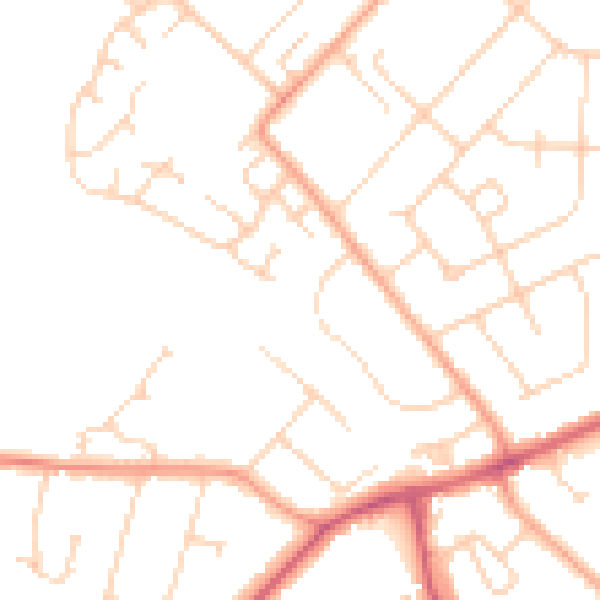
Daytime· 07:00 – 23:00
48.1dB

Night-time· 23:00 – 07:00
38.0dB