2 Alderton Close, Luton, LU2 9SA
About 2 Alderton Close
2 Alderton Close is a three-bedroom detached house in Luton (LU2 9SA). It has a recorded floor area of 83 m² (around 893 sq ft), construction records dating it to 1976-1982 and council tax band D. The latest certificate (October 2017) shows a C (score 69), just inside the C band. The recommended improvements would push it to B (score 84).
Today's modelled estimate of £455,000 is 30% above the 2018 sale price. On a £-per-square-foot basis, the last sale (£392/sq ft) was about 92.3% above the typical sold price in the postcode. Last sold in March 2018, so it's been off the market for around 8 years. 3 planning records sit against the property, 1 approved, 2 refused.
What this property has
Inside
- Bedrooms3
- Bathrooms1
- FireplaceYes
Outside
- DrivewayYes
Building
- RefurbishedYes
Everything you need to know about 2 Alderton Close
The true value, the hidden risks and the full sale history, in one report.
30-day money-back guarantee

The data behind every report


Energy performance
EPC Rating
Planning history
2 Alderton Close has been extended on multiple sides of the property across separate planning applications.
- Nov 2009ExtensionFullIn report
Extension: Part single, part two storey · Side and rear of property
Erection of two storey side and single storey rear extensions
- Reference
- 09/01061/FUL
- Mar 2008OutlineIn report
Certificate of Lawfulness for Proposed Development - Change of use of rear bedroom to office use for private business.
- Reference
- 08/00017/LAWP
What's in 2 Alderton Close, Luton, LU2 9SA's planning history?
1 more on this property, plus refusals, disputes and full decisions nearby, in the report.
Sales history & valuation
2 Alderton Close valuation sits well clear of the typical sold price in this postcode.
£455,000
Modelled from EPC, postcode comparables.
£350,000
Recorded with HM Land Registry.
Sales timeline
9 March 2018Most recent
£350,000
Median price across the last 5 sales in LU2 9SA: £340,000 (2023–2016).
Versus other Alderton Close homes
2 Alderton Close outperforms the street on price per m² by a wide margin.
Price per m²
£4,217
Street avg £2,956
Floor Area
83 m²
Street avg 96 m²
Habitable Rooms
4 rooms
Street avg 5 rooms
CO₂ Emissions
3.0 t/year
Street avg 3.9 t/year
Everything you need to know about 2 Alderton Close
The true value, the hidden risks and the full sale history, in one report.
30-day money-back guarantee
The data behind every report
Similar properties nearby
The neighbourhood at a glance
Daytime road noise here sits well below conversation level — a quiet pocket of the postcode.
Crime
6/mo
Steady year-on-year across the wider district.
Nearest stop
0.2 km
ASDA — bus stop.
Closest school
0.2 km
Wigmore Primary. 16 schools nearby.
Go deeper on the local area
The full report breaks down crime, transport links, schools and air quality in depth.
Road noise across the postcode
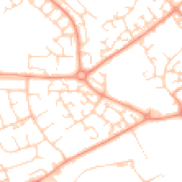
Daytime· 07:00 – 23:00
50.0dB

Night-time· 23:00 – 07:00
37.8dB