Skip to content

11 Chertsey Close, Luton, LU2 9JD

1 planning record
Property type
Mid terrace
Habitable rooms
7
From EPC
Floor area
106 m²
1141 sq ft
Energy rating
C
Score 75
Council tax
Band C
Tenure
Owner Occupied
Overview

About 11 Chertsey Close

A plain-English summary derived from public records, EPC certificates, sold prices and local data.

11 Chertsey Close is a mid-terrace house in Luton (LU2 9JD). It has a recorded floor area of 106 m² (around 1141 sq ft), construction records dating it to 1967-1975 and council tax band C. The latest certificate (November 2016) shows a C (score 75), near the top of the C band. The recommended improvements would push it to B (score 88).

Today's modelled estimate of £319,000 sits 61.9% above the 2017 sale of £197,000. One planning record on file: an extension approved in 2007. Past consents include an extension, meaningful when judging how the property has evolved. On the market in February 2017 and unlisted since — roughly 9 years.

Before you decide

Everything you need to know about 11 Chertsey Close

The true value, the hidden risks and the full sale history, in one report.

£14.99one-off

30-day money-back guarantee

Preview of the full property report

The data behind every report

  • HM Land Registry, source of sold price history
  • Department for Education, source of schools data
  • Police.uk, source of crime statistics
  • Department for Transport, source of stations and transport links
  • Environment Agency, source of flood risk data
  • Department for Environment, Food & Rural Affairs, source of road noise data
  • PlanIt, source of planning application records
Energy

Energy performance

Every EPC certificate filed against this property — current rating, recorded improvements, and where there's headroom to reach a higher band.

EPC Rating

A
B
C
C75
D
E
F
G
Main Heating
Gas
Main Fuel
Gas
Hot Water
Good
Windows
Average
CO2 Emissions
2.9 t/year
Occupancy
Owner Occupied
Planning

Planning history

Applications and permits filed against 11 Chertsey Close, Luton, LU2 9JD, sourced from the PlanIt planning register.

11 Chertsey Close has an approved single-storey rear extension on the planning record.

  1. Jul 2007
    ExtensionFull
    In report

    Extension: Single storey · Rear of property

    Erection of single storey rear extension.

    Documents
    4 docs on file
    Reference
    07/00760/FUL
    View planning record

What's in 11 Chertsey Close, Luton, LU2 9JD's planning history?

Refusals, disputes and full decisions on this property and nearby, in the report.

Price

Sales history & valuation

Recorded transactions, our model's current estimate, and a quick read on what neighbouring properties have sold for.

11 Chertsey Close valuation sits well clear of the typical sold price in this postcode.

Current estimate

£319,000

Modelled from EPC, postcode comparables.

See how we calculated this
Last sold (2017)

£197,000

Recorded with HM Land Registry.

Sales timeline

  1. 9 February 2017Most recent

    £197,000

Median price across the last 5 sales in LU2 9JD: £246,000 (2025–2021).

On the street

Versus other Chertsey Close homes

Four headline reads against 30 similar houses on this street, drawn from the latest EPC and Land Registry data.

Habitable Rooms for 11 Chertsey Close runs comfortably ahead of the street norm.

Price per m²

£1,858

Street avg £2,080

Below

Floor Area

106 m²

Street avg 101 m²

Above

Habitable Rooms

7 rooms

Street avg 6 rooms

Strongly above

CO₂ Emissions

2.9 t/year

Street avg 3.9 t/year

Strongly above
Before you decide

Everything you need to know about 11 Chertsey Close

The true value, the hidden risks and the full sale history, in one report.

£14.99one-off

30-day money-back guarantee

Preview of the full property report

The data behind every report

  • HM Land Registry, source of sold price history
  • Department for Education, source of schools data
  • Police.uk, source of crime statistics
  • Department for Transport, source of stations and transport links
  • Environment Agency, source of flood risk data
  • Department for Environment, Food & Rural Affairs, source of road noise data
  • PlanIt, source of planning application records
Area

The neighbourhood at a glance

A condensed read of the local area. Each tile links through to the full breakdown on the Luton district page.

Crime

6/mo

Steady year-on-year across the wider district.

Nearest stop

0.1 km

Chertsey Close — bus stop.

Closest school

0.7 km

Queen Elizabeth School. 18 schools nearby.

Go deeper on the local area

The full report breaks down crime, transport links, schools and air quality in depth.

Noise

Road noise across the postcode

Modelled day and night-time noise levels around LU2 9JD from Defra's strategic mapping. The pin marks this postcode's centroid.
Daytime road noise heatmap for LU2 9JD

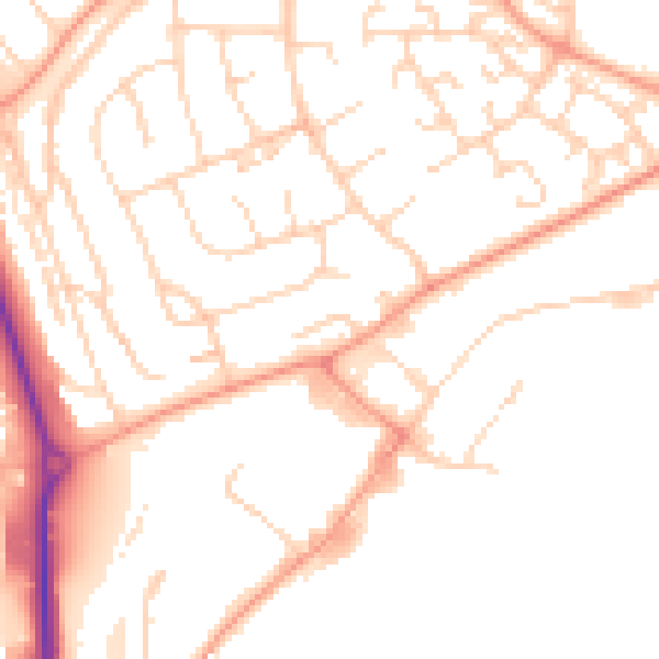
Daytime· 07:00 – 23:00

50.3dB

Low
Night-time road noise heatmap for LU2 9JD

Night-time· 23:00 – 07:00

39.6dB

Low
55 dB
60 dB
65 dB
70 dB
75 dB
80 dB
Defra Road Noise Strategic Mapping, Round 4
FAQ

Common questions

The questions buyers, sellers and homeowners most often ask about 11 Chertsey Close, Luton, LU2 9JD. Each answer is also embedded as structured data for search engines.