33 Claverley Green, Luton, LU2 8TB
About 33 Claverley Green
33 Claverley Green is a three-bedroom mid-terrace house in Luton (LU2 8TB). It has a recorded floor area of 67 m² (around 721 sq ft), construction records dating it to 1983-1990 and council tax band C. The latest certificate (July 2016) shows a C (score 75), near the top of the C band. The recommended improvements would push it to B (score 90). Other recorded features include attached land beyond the plot. The home occupies a cul-de-sac position.
Across 2022–2024, sale prices on this property compounded at 1.8% per year. On a £-per-square-foot basis, the last sale (£416/sq ft) was about 136.2% above the typical sold price in the postcode. Sold October 2024 for £300,000.
What this property has
Inside
- Bedrooms3
- Bathrooms1
- Dining roomYes
Outside
- Private gardenSouth-facing
- GarageYes
- LandYes
- Cul-de-sacYes
Building
- RefurbishedYes
Everything you need to know about 33 Claverley Green
The true value, the hidden risks and the full sale history, in one report.
30-day money-back guarantee

The data behind every report


Energy performance
EPC Rating
Planning history
33 Claverley Green has no planning applications on record.
The full report still covers planning activity across the surrounding area.
Sales history & valuation
33 Claverley Green valuation sits well clear of the typical sold price in this postcode.
£317,000
Modelled from EPC, postcode comparables and a sale-price growth of 1.8% per year over 3 years.
£300,000
Growth on file: 1.8% per year over 3 years.
Sales timeline
23 October 2024Most recent
£300,000
+5.1%over 2 years14 January 2022
£285,500
Median price across the last 5 sales in LU2 8TB: £235,500 (2024–2021).
Versus other Claverley Green homes
On years held, 33 Claverley Green runs well behind the street norm.
Price per m²
£4,478
Street avg £2,813
Floor Area
67 m²
Street avg 64 m²
Habitable Rooms
5 rooms
Street avg 4 rooms
CO₂ Emissions
1.9 t/year
Street avg 2.5 t/year
Everything you need to know about 33 Claverley Green
The true value, the hidden risks and the full sale history, in one report.
30-day money-back guarantee
The data behind every report
Similar properties nearby
1 Alfriston Close
LU2 8QZ
1 Cannon Lane
LU2 8BJ
1 Chestnut Cottages, West Street, Lilley
LU2 8LL
1 Brierley Close
LU2 8TP
1 Council Houses, Hexton Road, Lilley
LU2 8LY
1 Claverley Green
LU2 8TB
1 Brimfield Close
LU2 8TU
1 Cowdray Close
LU2 8QS
The neighbourhood at a glance
Daytime road noise here sits well below conversation level — a quiet pocket of the postcode.
Crime
6/mo
Steady year-on-year across the wider district.
Nearest stop
0.2 km
Wigmore Church — bus stop.
Closest school
0.3 km
Wigmore Primary. 15 schools nearby.
Go deeper on the local area
The full report breaks down crime, transport links, schools and air quality in depth.
Road noise across the postcode
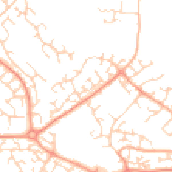
Daytime· 07:00 – 23:00
49.0dB

Night-time· 23:00 – 07:00
38.1dB