28f, Clarendon Road, Luton, LU2 7PQ
About 28f
28f is an end-of-terrace house in Luton (LU2 7PQ). It has a recorded floor area of 48 m² (around 517 sq ft), construction records dating it to 1996-2002 and council tax band A. At 48 m² this is the 60th smallest of 86 units on EPC record in the building, where floor areas span 14–154 m². The building's EPC ratings span E to C across 86 units on file. The latest certificate (April 2015) shows a D (score 63), on the cusp of jumping into the C band. The recommended improvements would push it to C (score 77). The latest certificate is from April 2015, so improvements made since then won't be reflected.
Untraded for 19 years, with the last transfer in September 2007. That sale landed at the peak of the pre-credit-crunch market, which is a useful reference point when interpreting the price. At 48 m² it's 20% larger than the typical home in the postcode (40 m² median across 85 EPCs). Today's modelled estimate of £180,000 is 20% above the 2007 sale price. On a £-per-square-foot basis, the last sale (£290/sq ft) was about 51.8% above the typical sold price in the postcode.
Everything you need to know about 28f
The true value, the hidden risks and the full sale history, in one report.
30-day money-back guarantee

The data behind every report


Energy performance
28f's EPC is over a decade old — improvements since won't be reflected.
EPC Expired
This certificate is over 10 years old and is no longer valid.Expired 13 Apr 2025
EPC Rating
Planning history
28f has no planning applications on record.
Notable planning nearby
26applications of note in the surrounding area
We flagged 2 things worth checking at 28f
Independent checks surfaced things a buyer would want to understand before offering. The report explains each one in full, with the underlying data and what to ask.
- Signs of HMO activity in the area
- Larger development activity nearby
30-day money-back guarantee
Sales history & valuation
The latest sale landed at the peak of the pre-credit-crunch market — a high-water reference point.
£180,000
Modelled from EPC, postcode comparables.
£150,000
Recorded with HM Land Registry.
Sales timeline
10 September 2007Most recent
£150,000
Median price across the last 5 sales in LU2 7PQ: £192,000 (2023–2021).
Nearby sales in LU2 7PQ
Old Hat Factory, Flat 9, Clarendon Road, Luton, LU2 7PQ
Sold May 2023
£192,000Flat 2, 27 Clarendon Road, Luton, LU2 7PQ
Sold May 2023
£125,00030a, Clarendon Road, Luton, LU2 7PQ
Sold Dec 2022
£135,30019 Clarendon Road, Luton, LU2 7PQ
Sold Aug 2022
£325,00020 Clarendon Road, Luton, LU2 7PQ
Sold Jun 2021
£350,000
Versus other Clarendon Road homes
28f outperforms the street on habitable rooms by a wide margin.
Price per m²
£3,125
Street avg £2,694
Floor Area
48 m²
Street avg 40 m²
Habitable Rooms
3 rooms
Street avg 2 rooms
CO₂ Emissions
2.7 t/year
Street avg 2.3 t/year
Everything you need to know about 28f
The true value, the hidden risks and the full sale history, in one report.
30-day money-back guarantee
The data behind every report
Similar properties nearby
1 Clarendon Court, Clarendon Road
LU2 7PH
1 Clarendon Road
LU2 7PQ
1 Alfie Court, Mullion Close
LU2 7FS
1 Chadwell Close
LU2 7SE
1 Cherrington Court, Lothair Road
LU2 7XB
1 Arden Place
LU2 7YE
1 Clive Court, Havelock Rise
LU2 7YD
1 Colin Road
LU2 7RU
The neighbourhood at a glance
Rail-style transport is unusually close for this postcode.
Crime
6/mo
Steady year-on-year across the wider district.
Nearest stop
0.1 km
Clarendon Road — bus stop.
Closest school
0.5 km
St Matthew's Primary School. 36 schools nearby.
Go deeper on the local area
The full report breaks down crime, transport links, schools and air quality in depth.
Road noise across the postcode
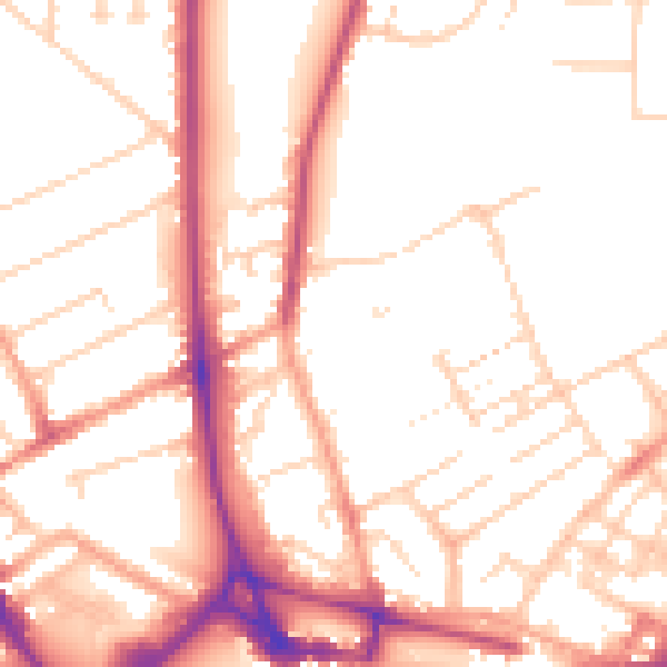
Daytime· 07:00 – 23:00
52.5dB

Night-time· 23:00 – 07:00
42.7dB