39 Edward Street, Luton, LU2 0NF
About 39 Edward Street
39 Edward Street is a mid-terrace house in Luton (LU2 0NF). It has a recorded floor area of 81 m² (around 872 sq ft), construction records dating it to before 1900 and council tax band B. The latest certificate (April 2024) shows a D (score 67), on the cusp of jumping into the C band. The rating has held steady at D across 3 certificates since May 2009. Between certificates, roof efficiency went from Average to Good. The recommended improvements would lift it to B (score 88), a 2-band jump.
A recent sale: £240,000 in January 2025. Across 2003–2025, sale prices on this property compounded at 4.7% per year. On a £-per-square-foot basis, the last sale (£275/sq ft) was about 85.2% above the typical sold price in the postcode.
Everything you need to know about 39 Edward Street
The true value, the hidden risks and the full sale history, in one report.
30-day money-back guarantee

The data behind every report


Energy performance
Recommended upgrades on file would lift this property by multiple EPC bands.
EPC Rating
Property Improvements
Changes detected from historical EPC data
Heating controls upgraded for better temperature management
Loft insulation upgraded to recommended levels
Planning history
39 Edward Street has no planning applications on record.
Notable planning nearby
30applications of note in the surrounding area
We flagged 2 things worth checking at 39 Edward Street
Independent checks surfaced things a buyer would want to understand before offering. The report explains each one in full, with the underlying data and what to ask.
- Signs of HMO activity in the area
- Larger development activity nearby
30-day money-back guarantee
Sales history & valuation
39 Edward Street has more than doubled in price since the earliest registered sale in 2003.
£243,000
Modelled from EPC, postcode comparables and a sale-price growth of 4.7% per year over 21 years.
£240,000
Growth on file: 4.7% per year over 21 years.
Sales timeline
24 January 2025Most recent
£240,000
+166.7%over 21 years12 October 2003
£90,000
Median price across the last 5 sales in LU2 0NF: £250,000 (2025–2022).
Versus other Edward Street homes
Years Held for 39 Edward Street lags the street by a wide margin.
Price per m²
£2,963
Street avg £2,593
Floor Area
81 m²
Street avg 83 m²
Habitable Rooms
5 rooms
Street avg 5 rooms
CO₂ Emissions
3.5 t/year
Street avg 4.5 t/year
Everything you need to know about 39 Edward Street
The true value, the hidden risks and the full sale history, in one report.
30-day money-back guarantee
The data behind every report
Similar properties nearby
The neighbourhood at a glance
Rail-style transport is unusually close for this postcode.
Crime
6/mo
Steady year-on-year across the wider district.
Nearest stop
0.1 km
Bell's Park — bus stop.
Closest school
0.1 km
St Matthew's Primary School. 37 schools nearby.
Go deeper on the local area
The full report breaks down crime, transport links, schools and air quality in depth.
Road noise across the postcode
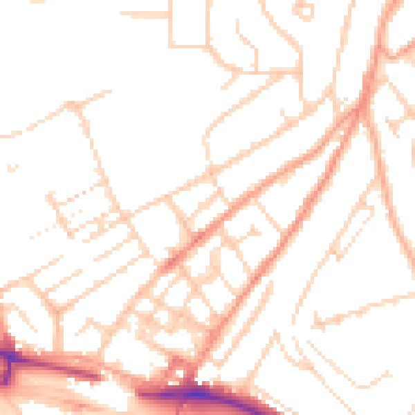
Daytime· 07:00 – 23:00
50.0dB

Night-time· 23:00 – 07:00
39.2dB