55 Exton Avenue, Luton, LU2 0LH
About 55 Exton Avenue
55 Exton Avenue is a semi-detached house in Luton (LU2 0LH). It has a recorded floor area of 99 m² (around 1066 sq ft), construction records dating it to 1950-1966 and council tax band B. The latest certificate (July 2019) shows an E (score 54), well below the UK norm with real room to improve. The recommended improvements would lift it to C (score 80), a 2-band jump.
At 99 m² it's 23.8% larger than the typical home in the postcode (80 m² median across 22 EPCs). It lags the bulk of the postcode on energy efficiency (less efficient than 77% of similar EPCs). Across 2002–2019, sale prices on this property compounded at 7.7% per year. Today's modelled estimate of £296,000 is 41% above the 2019 sale price. Sold November 2019 for £210,000.
Everything you need to know about 55 Exton Avenue
The true value, the hidden risks and the full sale history, in one report.
30-day money-back guarantee

The data behind every report


Energy performance
Recommended upgrades on file would lift this property by multiple EPC bands.
EPC Rating
Planning history
55 Exton Avenue has no planning applications on record.
Notable planning nearby
30applications of note in the surrounding area
We flagged 2 things worth checking at 55 Exton Avenue
Independent checks surfaced things a buyer would want to understand before offering. The report explains each one in full, with the underlying data and what to ask.
- Signs of HMO activity in the area
- Larger development activity nearby
30-day money-back guarantee
Sales history & valuation
55 Exton Avenue has more than tripled in price since its earliest registered sale in 2002.
£296,000
Modelled from EPC, postcode comparables and a sale-price growth of 7.7% per year over 18 years.
£210,000
Growth on file: 7.7% per year over 18 years.
Sales timeline
8 November 2019Most recent
£210,000
+275.0%over 17 years31 January 2002
£56,000
Median price across the last 5 sales in LU2 0LH: £350,000 (2024–2021).
Versus other Exton Avenue homes
55 Exton Avenue is notably below the street on co₂ emissions.
Price per m²
£2,121
Street avg £3,305
Floor Area
99 m²
Street avg 80 m²
Habitable Rooms
5 rooms
Street avg 4 rooms
CO₂ Emissions
5.8 t/year
Street avg 4.0 t/year
Everything you need to know about 55 Exton Avenue
The true value, the hidden risks and the full sale history, in one report.
30-day money-back guarantee
The data behind every report
Similar properties nearby
The neighbourhood at a glance
Crime
6/mo
Steady year-on-year across the wider district.
Nearest stop
0.2 km
Walcot Avenue — bus stop.
Closest school
0.5 km
Wenlock CofE Academy. 30 schools nearby.
Go deeper on the local area
The full report breaks down crime, transport links, schools and air quality in depth.
Road noise across the postcode
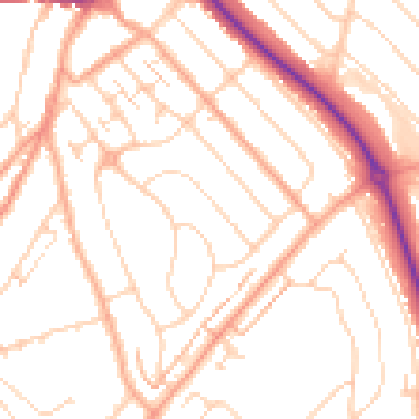
Daytime· 07:00 – 23:00
51.2dB

Night-time· 23:00 – 07:00
40.3dB