146a, High Town Road, Luton, LU2 0DL
About 146a
146a is an end-of-terrace house in Luton (LU2 0DL). It has a recorded floor area of 24 m² (around 258 sq ft), construction records dating it to 1900-1929 and council tax band A. At 24 m² this is the smallest unit on EPC record across the building (24–130 m²). The building's EPC ratings span E to C across 27 units on file. The latest certificate (November 2017) shows a D (score 67), on the cusp of jumping into the C band. The recommended improvements would push it to C (score 72).
Today's modelled estimate of £130,000 is 22.2% below the 2014 sale of £167,000, an unusual pattern given regional price growth and worth checking against the EPC condition. On a £-per-square-foot basis, the last sale (£646/sq ft) was about 372.7% above the typical sold price in the postcode. At 24 m² it sits well below the postcode median (60 m² across 26 EPCs), making it one of the more compact homes locally. Last changed hands 12 years ago, in August 2014.
Everything you need to know about 146a
The true value, the hidden risks and the full sale history, in one report.
30-day money-back guarantee

The data behind every report


Energy performance
EPC Rating
Planning history
146a has no planning applications on record.
Notable planning nearby
30applications of note in the surrounding area
We flagged 2 things worth checking at 146a
Independent checks surfaced things a buyer would want to understand before offering. The report explains each one in full, with the underlying data and what to ask.
- Signs of HMO activity in the area
- Larger development activity nearby
30-day money-back guarantee
Sales history & valuation
£130,000
Modelled from EPC, postcode comparables.
£167,000
Recorded with HM Land Registry.
Sales timeline
10 August 2014Most recent
£167,000
Median price across the last 5 sales in LU2 0DL: £125,875 (2025–2023).
Nearby sales in LU2 0DL
Versus other High Town Road homes
On price per m², 146a stands well clear of the street.
Price per m²
£6,958
Street avg £3,126
Floor Area
24 m²
Street avg 52 m²
Habitable Rooms
1 rooms
Street avg 3 rooms
CO₂ Emissions
1.6 t/year
Street avg 3.3 t/year
Everything you need to know about 146a
The true value, the hidden risks and the full sale history, in one report.
30-day money-back guarantee
The data behind every report
Similar properties nearby
1 Barclay Court, Crescent Rise
LU2 0BE
1 Ella Court, High Town Road
LU2 0BP
1 Berkeley Path
LU2 0TS
1 Buchanan Court, Buchanan Drive
LU2 0SA
1 Crescent Road
LU2 0AB
1 Elmfield Court, Bloomfield Avenue
LU2 0PX
1 Cherry Tree Mews, 230 Hitchin Road
LU2 0EX
1 Albion Court
LU2 0DH
The neighbourhood at a glance
Rail-style transport is unusually close for this postcode.
Crime
6/mo
Steady year-on-year across the wider district.
Nearest stop
0.2 km
Jubilee Street — bus stop.
Closest school
0.2 km
St Matthew's Primary School. 37 schools nearby.
Go deeper on the local area
The full report breaks down crime, transport links, schools and air quality in depth.
Road noise across the postcode
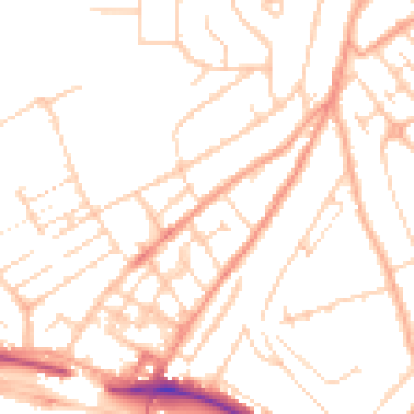
Daytime· 07:00 – 23:00
50.0dB

Night-time· 23:00 – 07:00
39.0dB