325a, High Town Road, Luton, LU2 0DB
About 325a
325a is a six-bedroom semi-detached house in Luton (LU2 0DB). It has a recorded floor area of 16 m² (around 172 sq ft) and construction records dating it to 1900-1929. At 16 m² this is the 2nd smallest of 13 units on EPC record in the building, where floor areas span 13–95 m². The building's EPC ratings span E to C, with this unit at the top. The latest certificate (March 2023) shows a C (score 69), just inside the C band.
It hasn't traded since February 2004, a hold of 22 years that's notably long for the area. Across 2002–2004, sale prices on this property compounded at 27.7% per year. Today's modelled estimate of £189,000 sits 114.8% above the 2004 sale of £88,000. Its energy rating outperforms most of the postcode (better than 75% of similar EPCs). 6 bedrooms is on the larger side for this postcode, where 3 is the typical count.
What this property has
Inside
- Bedrooms6
Everything you need to know about 325a
The true value, the hidden risks and the full sale history, in one report.
30-day money-back guarantee

The data behind every report


Energy performance
325a's carbon output is low for the local stock.
EPC Rating
Planning history
325a has no planning applications on record.
Notable planning nearby
30applications of note in the surrounding area
We flagged 3 things worth checking at 325a
Independent checks surfaced things a buyer would want to understand before offering. The report explains each one in full, with the underlying data and what to ask.
- Signs of HMO activity in the area
- Larger development activity nearby
- Recent ownership pattern worth a look
30-day money-back guarantee
Sales history & valuation
325a changed hands twice within eighteen months — unusual for the area.
£189,000
Modelled from EPC, postcode comparables and a sale-price growth of 27.7% per year over 1 year.
£88,000
Growth on file: 27.7% per year over 1 year.
Sales timeline
13 February 2004Most recent
£88,000
+35.4%over 1 year18 November 2002
£64,999
Median price across the last 5 sales in LU2 0DB: £225,000 (2020–2015).
Versus other High Town Road homes
325a outperforms the street on epc rating by a wide margin.
Price per m²
£5,500
Street avg £7,127
Floor Area
16 m²
Street avg 22 m²
Habitable Rooms
1 rooms
Street avg 1 rooms
CO₂ Emissions
1.3 t/year
Street avg 1.7 t/year
Everything you need to know about 325a
The true value, the hidden risks and the full sale history, in one report.
30-day money-back guarantee
The data behind every report
Similar properties nearby
1 Crescent Road
LU2 0AB
1 Elmfield Court, Bloomfield Avenue
LU2 0PX
1 Buchanan Court, Buchanan Drive
LU2 0SA
1 Berkeley Path
LU2 0TS
1 Eaton Valley Road
LU2 0SN
1 Cherry Tree Mews, 230 Hitchin Road
LU2 0EX
1 Audley Place, Somerset Avenue
LU2 0QD
1 Albion Court
LU2 0DH
The neighbourhood at a glance
Crime
6/mo
Steady year-on-year across the wider district.
Nearest stop
0.0 km
High Town Road — bus stop.
Closest school
0.6 km
St Matthew's Primary School. 34 schools nearby.
Go deeper on the local area
The full report breaks down crime, transport links, schools and air quality in depth.
Road noise across the postcode
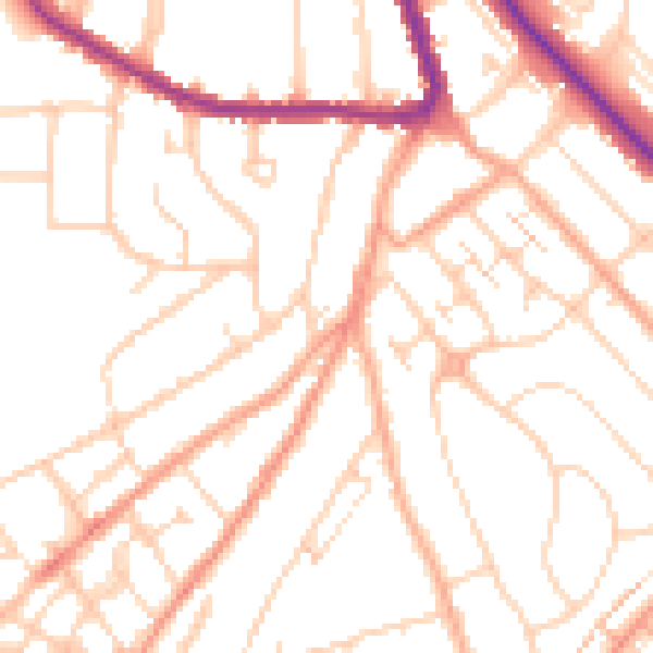
Daytime· 07:00 – 23:00
50.3dB

Night-time· 23:00 – 07:00
39.8dB