137a, High Town Road, Luton, LU2 0BX
About 137a
137a is a one-bedroom end-of-terrace house in Luton (LU2 0BX). It has a recorded floor area of 38 m² (around 409 sq ft), construction records dating it to 1900-1929 and council tax band A. The latest certificate (January 2025) shows a D (score 67), on the cusp of jumping into the C band. When first surveyed in March 2017 the rating was F, the property has climbed 2 bands since. Between certificates, roof efficiency went from Very Poor to Good, window efficiency went from Average to Good and lighting went from Average to Very Good. The recommended improvements would push it to C (score 72). At 38 m² this is the 10th smallest of 23 units on EPC record in the building, where floor areas span 17–89 m². The building's EPC ratings span E to C across 23 units on file. Our model identifies extension potential, subject to local planning policy.
It hasn't traded since July 2008, a hold of 18 years that's notably long for the area. That sale landed at the peak of the pre-credit-crunch market, which is a useful reference point when interpreting the price. Today's modelled estimate of £153,000 sits 53% above the 2008 sale of £100,000. On a £-per-square-foot basis, the last sale (£244/sq ft) was about 30.5% above the typical sold price in the postcode. At 38 m² it's 27.6% smaller than the typical home in the postcode (53 m² median across 22 EPCs).
What this property has
Inside
- Bedrooms1
- Bathrooms1
Building
- RefurbishedYes
- Extension potentialPossible
Everything you need to know about 137a
The true value, the hidden risks and the full sale history, in one report.
30-day money-back guarantee

The data behind every report


Energy performance
EPC Rating
Property Improvements
Changes detected from historical EPC data
Heating controls upgraded for better temperature management
Window efficiency improved
Roof insulation improved
More low energy lighting installed
Planning history
137a has no planning applications on record.
Notable planning nearby
30applications of note in the surrounding area
We flagged 2 things worth checking at 137a
Independent checks surfaced things a buyer would want to understand before offering. The report explains each one in full, with the underlying data and what to ask.
- Signs of HMO activity in the area
- Larger development activity nearby
30-day money-back guarantee
Sales history & valuation
The latest sale landed at the peak of the pre-credit-crunch market — a high-water reference point.
£153,000
Modelled from EPC, postcode comparables.
£100,000
Recorded with HM Land Registry.
Sales timeline
15 July 2008Most recent
£100,000
Median price across the last 5 sales in LU2 0BX: £198,000 (2025–2016).
Versus other High Town Road homes
Floor Area for 137a runs comfortably ahead of the street norm.
Price per m²
£2,632
Street avg £1,936
Floor Area
38 m²
Street avg 35 m²
Habitable Rooms
3 rooms
Street avg 2 rooms
CO₂ Emissions
2.0 t/year
Street avg 2.3 t/year
Everything you need to know about 137a
The true value, the hidden risks and the full sale history, in one report.
30-day money-back guarantee
The data behind every report
Similar properties nearby
1 Ella Court, High Town Road
LU2 0BP
1 Armstrong Road
LU2 0FU
1 Buchanan Court, Buchanan Drive
LU2 0SA
1 Elmfield Court, Bloomfield Avenue
LU2 0PX
1 Edward Street
LU2 0NF
1 Berkeley Path
LU2 0TS
1 Barclay Court, Crescent Rise
LU2 0BE
1 Blaydon Road
LU2 0RP
The neighbourhood at a glance
Rail-style transport is unusually close for this postcode.
Crime
6/mo
Steady year-on-year across the wider district.
Nearest stop
0.2 km
Bell's Park — bus stop.
Closest school
0.1 km
St Matthew's Primary School. 37 schools nearby.
Go deeper on the local area
The full report breaks down crime, transport links, schools and air quality in depth.
Road noise across the postcode
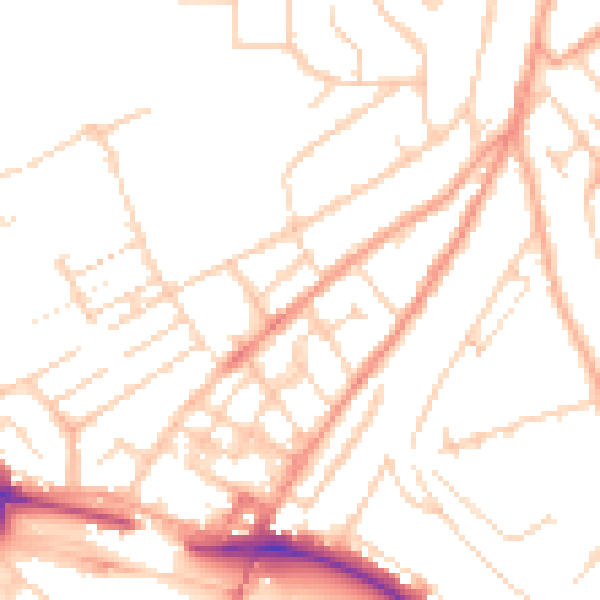
Daytime· 07:00 – 23:00
50.2dB

Night-time· 23:00 – 07:00
39.4dB