32 Skipton Road, Ilkley, LS29 9EP
About 32 Skipton Road
32 Skipton Road is a three-bedroom end-of-terrace house in Ilkley (LS29 9EP). It has a recorded floor area of 151 m² (around 1625 sq ft), construction records dating it to before 1900 and council tax band D. Tenure is freehold. The latest certificate (September 2015) shows a D (score 57), a step below the typical UK home. The recommended improvements would push it to C (score 79). The latest certificate is from September 2015, so improvements made since then won't be reflected. Other recorded features include notable views. Period features are noted in the property record.
At 151 m² the property is well over the postcode median (107 m² across 16 EPCs), placing it in the larger end of the local stock. Last sale on file: £561,400 in November 2024. Across the public record there are 4 sales, relatively high churn for a single property. 2 planning records sit against the property, 2 approved, 0 refused. Past consents include an extension, a porch and a loft conversion, meaningful when judging how the property has evolved. Across 2006–2024, sale prices on this property compounded at 4% per year. On a £-per-square-foot basis, the last sale (£345/sq ft) was about 96.7% above the typical sold price in the postcode.
Know exactly what you're buying at 32 Skipton Road
Before you offer, see what the listing won't tell you, the true value, the red flags and the full history.
Already flagged here
Valuation
against the asking price
Risks
planning & flood
Sold prices
similar homes nearby
Trends
the local market
What this property has
Inside
- Bedrooms3
- Bathrooms1
- Dining roomYes
Outside
- Private gardenSouth-facing
- Notable viewsYes
Building
- TenureFreehold
- Period featuresYes
- RefurbishedYes
Energy performance
32 Skipton Road's carbon output runs well above what efficient homes in the postcode produce.
EPC Expired
This certificate is over 10 years old and is no longer valid.Expired 19 Sept 2025
EPC Rating
Planning history
- Apr 2020PorchFullIn report
Fitting of rooflights to front and side roof planes, replacement of porch and new garden gates to front and side boundaries
Extension- Documents
- 21 docs on file
- Reference
- 20/00456/HOU
- Oct 2006Loft ConversionFullIn report
Flat roof dormer to side elevation and basement conversion to habitable rooms
Extension- Documents
- 14 docs on file
- Reference
- 06/06501/FUL
We flagged 1 thing worth checking at 32 Skipton Road
Independent checks surfaced things a buyer would want to understand before offering. The report explains each one in full, with the underlying data and what to ask.
- Larger development activity nearby
30-day money-back guarantee
Sales history & valuation
Latest sale on 32 Skipton Road was the highest on Land Registry record across the postcode.
£595,000
Modelled from EPC, postcode comparables and a sale-price growth of 4.0% per year over 18 years.
£561,400
Growth on file: 4.0% per year over 18 years.
Sales timeline
29 November 2024Most recent
£561,400
+33.7%over 7 years4 October 2017
£420,000
-1.2%over 1 year2 June 2016
£425,000
+54.5%over 9 years3 July 2006
£275,000
Median price across the last 5 sales in LS29 9EP: £282,000 (2025–2021).
Everything we know about 32 Skipton Road, in one report
What it's really worth, what could be wrong, and the planning, sales and area data in full.
What we flagged
- Larger development activity nearby

Versus other Skipton Road homes
On price per m², 32 Skipton Road stands well clear of the street.
Price per m²
£3,718
Street avg £1,881
Floor Area
151 m²
Street avg 130 m²
Habitable Rooms
6 rooms
Street avg 6 rooms
CO₂ Emissions
8.2 t/year
Street avg 8.2 t/year
Similar properties nearby
1 Beverley Rise
LS29 9DB
1 Chantry Close
LS29 9JA
1 Eaton Road
LS29 9PU
1 Castle Hill
LS29 9FD
1 Castle Mews, Castle Hill
LS29 9FE
1 Alexandra Crescent
LS29 9ER
1 Fern Gardens
LS29 9QA
1 Annandale Court
LS29 9SZ
The neighbourhood at a glance
Rail-style transport is unusually close for this postcode.
Crime
3/mo
Steady year-on-year across the wider district.
Nearest stop
0.1 km
Skipton Rd Middleton Road — bus stop.
Closest school
0.2 km
All Saints' CofE Primary School. 5 schools nearby.
Go deeper on the local area
The full report breaks down crime, transport links, schools and air quality in depth.
Road noise across the postcode
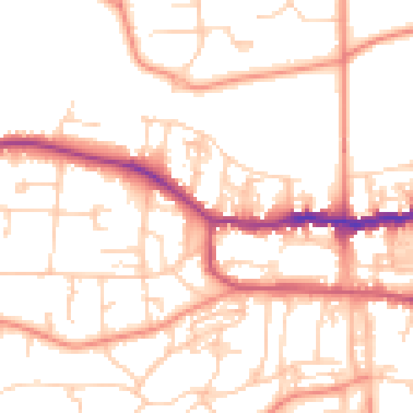
Daytime· 07:00 – 23:00
52.6dB

Night-time· 23:00 – 07:00
41.2dB