6 Church Lane, Micklefield, Leeds, LS25 4AX
About 6 Church Lane
6 Church Lane is a semi-detached house in Micklefield, Leeds, Leeds (LS25 4AX). It has a recorded floor area of 90 m² (around 969 sq ft), construction records dating it to 1950-1966 and council tax band C. The latest certificate (January 2026) shows a D (score 61), on the cusp of jumping into the C band. The recommended improvements would push it to C (score 77). This certificate was lodged in the last six months, so the rating reflects current condition.
Held since August 1998 — that's 28 years off the open market, well above the local norm. Only one transfer is on record with HM Land Registry, suggesting it has stayed in the same hands for a long time. On a £-per-square-foot basis, the last sale (£69/sq ft) was about 54.6% below the postcode norm.
Know exactly what you're buying at 6 Church Lane
Before you offer, see what the listing won't tell you, the true value, the red flags and the full history.
Valuation
against the asking price
Risks
planning & flood
Sold prices
similar homes nearby
Trends
the local market
Energy performance
The EPC has just been inspected, so the rating reflects current condition.
EPC Rating
Planning history
6 Church Lane has no planning applications on record.
The full report still covers planning activity across the surrounding area.
Sales history & valuation
6 Church Lane has been held in the same hands since before 2000.
£67,000
Recorded with HM Land Registry.
Sales timeline
6 August 1998Most recent
£67,000
Median price across the last 5 sales in LS25 4AX: £245,000 (2024–2022).
Nearby sales in LS25 4AX
36 Church Lane, Micklefield, Leeds, LS25 4AX
Sold Aug 2024
£225,00018 Church Lane, Micklefield, Leeds, LS25 4AX
Sold Sept 2023
£215,00022 Church Lane, Micklefield, Leeds, LS25 4AX
Sold Sept 2023
£249,9505 Church Lane, Micklefield, Leeds, LS25 4AX
Sold Oct 2022
£245,0002 Church Lane, Micklefield, Leeds, LS25 4AX
Sold Mar 2022
£255,000
Everything we know about 6 Church Lane, in one report
What it's really worth, what could be wrong, and the planning, sales and area data in full.
- Am I paying too much?
- Is something wrong with it?
- Is the agent's story true?
- Will it hold its value?

Versus other Church Lane homes
6 Church Lane is notably below the street on price per m².
Price per m²
£744
Street avg £2,003
Floor Area
90 m²
Street avg 85 m²
Habitable Rooms
4 rooms
Street avg 4 rooms
CO₂ Emissions
4.6 t/year
Street avg 3.7 t/year
Similar properties nearby
1 Aerial View, Pit Lane, Micklefield
LS25 4BP
1 Alness Avenue, Micklefield
LS25 4EJ
1 Annat Place, Micklefield
LS25 4EL
1 Ashtree Croft Grove, Micklefield
LS25 4EN
1 Averill Gardens, Micklefield
LS25 4EX
1 Averill Grove, Micklefield
LS25 4EY
1 Averill Way, Micklefield
LS25 4EW
1 Beeston Lane, Micklefield
LS25 4FT
The neighbourhood at a glance
Rail-style transport is unusually close for this postcode.
Crime
6/mo
Steady year-on-year across the wider district.
Nearest stop
0.1 km
Churchville Terrace — bus stop.
Closest school
0.5 km
Micklefield Church of England Primary Academy. 4 schools nearby.
Go deeper on the local area
The full report breaks down crime, transport links, schools and air quality in depth.
Road noise across the postcode
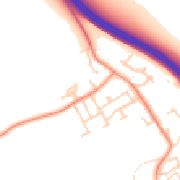
Daytime· 07:00 – 23:00
52.6dB

Night-time· 23:00 – 07:00
43.4dB