10 Chestnut Rise, Leeds, LS12 4LW
About 10 Chestnut Rise
10 Chestnut Rise is a property in Leeds (LS12 4LW). It has council tax band B.
Held since March 2000 — that's 26 years off the open market, well above the local norm. One planning record on file: an extension approved in 2026. Past consents include an extension and partial demolition, meaningful when judging how the property has evolved. Across 1998–2000, sale prices on this property compounded at 3.8% per year.
Know exactly what you're buying at 10 Chestnut Rise
Before you offer, see what the listing won't tell you, the true value, the red flags and the full history.
Already flagged here
Launch offer · save £5
Valuation
against the asking price
Risks
planning & flood
Sold prices
similar homes nearby
Trends
the local market
Energy performance
No EPC on record
This property doesn't have an Energy Performance Certificate yet. An EPC is required to sell or let — and unlocks our automated valuation.
Planning history
Planning history includes recorded demolition works, indicating a major rebuild phase at this address.
- Jan 2026DemolitionFullIn report
Extension: Side and rear of property
Single storey side and rear extension; demolition of existing conservatory
Extension- Documents
- 11 docs on file
- Reference
- 25/06690/FU
We flagged 1 thing worth checking at 10 Chestnut Rise
Independent checks surfaced things a buyer would want to understand before offering. The report explains each one in full, with the underlying data and what to ask.
- Larger development activity nearby
30-day money-back guarantee
Sales history & valuation
10 Chestnut Rise changed hands twice within eighteen months — unusual for the area.
£47,500
Growth on file: 3.8% per year over 1 year.
Sales timeline
30 March 2000Most recent
£47,500
+5.6%over 1 year21 October 1998
£45,000
Median price across the last 5 sales in LS12 4LW: £170,000 (2025–2020).
Everything we know about 10 Chestnut Rise, in one report
What it's really worth, what could be wrong, and the planning, sales and area data in full.
What we flagged
- Larger development activity nearby

Similar properties nearby
The neighbourhood at a glance
Reported crime in the wider district is trending notably upward year-on-year.
Crime
10/mo
Rising year-on-year across the wider district.
Nearest stop
0.1 km
Upper Wortley Rd Thornhill Road — bus stop.
Closest school
0.2 km
Five Lanes Primary School. 31 schools nearby.
Go deeper on the local area
The full report breaks down crime, transport links, schools and air quality in depth.
Road noise across the postcode
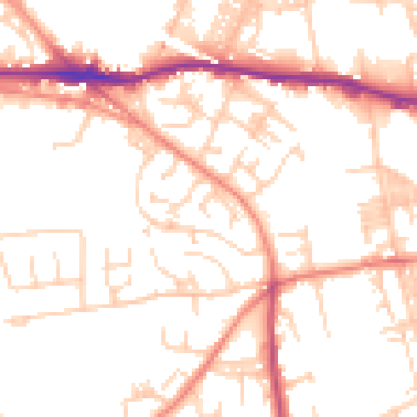
Daytime· 07:00 – 23:00
52.1dB

Night-time· 23:00 – 07:00
41.3dB