23 Devon Street, Lincoln, LN2 5NT
About 23 Devon Street
23 Devon Street is a three-bedroom end-of-terrace house in Lincoln (LN2 5NT). It has a recorded floor area of 77 m² (around 829 sq ft), construction records dating it to 1991-1995 and council tax band A. The latest certificate (September 2017) shows a D (score 68), on the cusp of jumping into the C band. The recommended improvements would lift it to B (score 83), a 2-band jump.
Most recent transfer: July 2021 at £151,000. Across the public record there are 5 sales, relatively high churn for a single property. That sale was during the post-pandemic price surge, when transactions cleared materially above pre-2020 trend. Across 1996–2021, sale prices on this property compounded at 5.8% per year. Today's modelled estimate of £183,000 is 21.2% above the 2021 sale price. On a £-per-square-foot basis, the last sale (£182/sq ft) was about 113.3% above the typical sold price in the postcode.
What this property has
Inside
- Bedrooms3
- Bathrooms1
- Open-plan layoutYes
Outside
- Private gardenRear
- ParkingOff street
Building
- RefurbishedYes
Everything you need to know about 23 Devon Street
The true value, the hidden risks and the full sale history, in one report.
Pick your report · every report is £14.99
One time fee only - money back guarantee

The data behind every report


Energy performance
Recommended upgrades on file would lift this property by multiple EPC bands.
EPC Rating
Get a survey for this property
Level 2 HomeBuyer Report
We've checked 10 risk factors against the available data for this property and believe a Level 2 HomeBuyer Report could be a suitable option for you.
From £495 · Includes VAT
Planning history
23 Devon Street has no planning applications on record.
But the area is active
63 notable applications nearby — larger schemes and conversions that could reshape the street. The report maps them all.
Sales history & valuation
Latest sale on 23 Devon Street was the highest on Land Registry record across the postcode.
£183,000
Modelled from EPC, postcode comparables and a sale-price growth of 5.8% per year over 25 years.
£151,000
Growth on file: 5.8% per year over 25 years.
Sales timeline
1 July 2021Most recent
£151,000
+7.9%over 2 years30 November 2018
£140,000
+86.7%over 10 months31 January 2018
£75,000
+17.2%over 14 years22 December 2003
£64,000
+68.6%over 7 years16 December 1996
£37,950
Median price across the last 5 sales in LN2 5NT: £110,000 (2024–2022).
Versus other Devon Street homes
Price per m² for 23 Devon Street runs comfortably ahead of the street norm.
Price per m²
£1,961
Street avg £1,271
Floor Area
77 m²
Street avg 81 m²
Habitable Rooms
4 rooms
Street avg 5 rooms
CO₂ Emissions
3.1 t/year
Street avg 3.8 t/year
Everything you need to know about 23 Devon Street
The true value, the hidden risks and the full sale history, in one report.
Pick your report · every report is £14.99
One time fee only - money back guarantee
The data behind every report
Similar properties nearby
1 Belmont Street
LN2 5LS
1 Bentinck Square
LN2 5EA
1 Bathurst Street
LN2 5PX
1 Dorset Street
LN2 5NS
1 Clarina Street
LN2 5LZ
1 Brook Street
LN2 5AS
1 Fairfield Street
LN2 5NE
1 Eastfield Street
LN2 5ES
The neighbourhood at a glance
Daytime road noise here sits well below conversation level — a quiet pocket of the postcode.
Crime
3/mo
Steady year-on-year across the wider district.
Nearest stop
0.2 km
Hartley Street — bus stop.
Closest school
0.7 km
Lincoln Monks Abbey Primary School. 17 schools nearby.
Go deeper on the local area
A Local Area report breaks down crime, transport links, schools and air quality in depth.
Road noise across the postcode
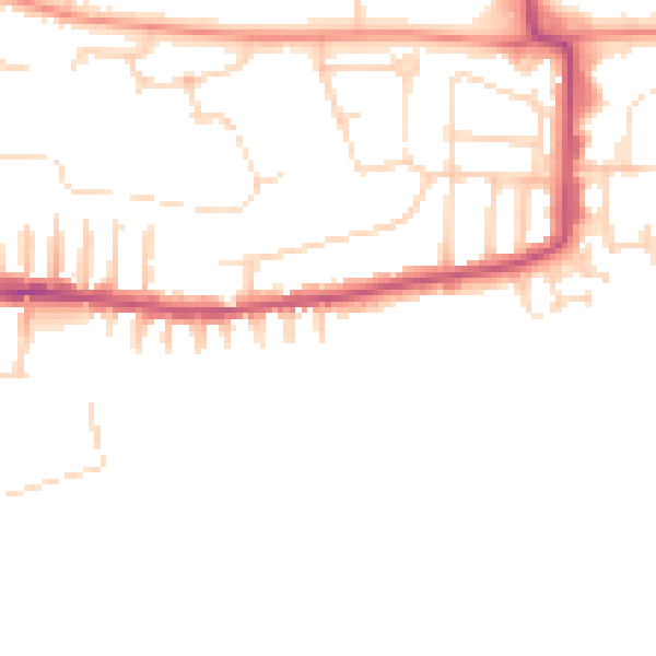
Daytime· 07:00 – 23:00
47.3dB

Night-time· 23:00 – 07:00
38.1dB