1 George Street, Anstey, Leicester, LE7 7DT
About 1 George Street
1 George Street is a property in Anstey, Leicester, Leicester (LE7 7DT). It has council tax band B.
Untraded for 28 years, with the last transfer in August 1998. Across 1996–1998, sale prices on this property compounded at 2.5% per year. One historical planning record sits against the property in 2008.
Know exactly what you're buying at 1 George Street
Before you offer, see what the listing won't tell you, the true value, the red flags and the full history.
Already flagged here
Valuation
against the asking price
Risks
planning & flood
Sold prices
similar homes nearby
Trends
the local market
Energy performance
No EPC on record
This property doesn't have an Energy Performance Certificate yet. An EPC is required to sell or let — and unlocks our automated valuation.
Planning history
- Sept 2008Loft ConversionIn report
(Enquiry) Proposed loft Conversion and insertion of 2 rooflights.
- Council
- South
- Documents
- 1 doc on file
- Reference
- P/07/3331/2
We flagged 1 thing worth checking at 1 George Street
Independent checks surfaced things a buyer would want to understand before offering. The report explains each one in full, with the underlying data and what to ask.
- Larger development activity nearby
30-day money-back guarantee
Sales history & valuation
£46,000
Growth on file: 2.5% per year over 2 years.
Sales timeline
20 August 1998Most recent
£46,000
+5.7%over 2 years16 May 1996
£43,500
Median price across the last 5 sales in LE7 7DT: £227,500 (2025–2024).
Nearby sales in LE7 7DT
3 George Street, Anstey, Leicester, LE7 7DT
Sold Sept 2025
£227,50027 George Street, Anstey, Leicester, LE7 7DT
Sold Jun 2025
£334,95025 George Street, Anstey, Leicester, LE7 7DT
Sold Oct 2024
£270,00019 George Street, Anstey, Leicester, LE7 7DT
Sold Sept 2024
£186,0007 George Street, Anstey, Leicester, LE7 7DT
Sold Jul 2024
£190,000
Everything we know about 1 George Street, in one report
What it's really worth, what could be wrong, and the planning, sales and area data in full.
What we flagged
- Larger development activity nearby

Similar properties nearby
1 Abbots Close, Anstey
LE7 7UF
1 Airborne Avenue, Anstey
LE7 7UY
1 All Saints Road, Thurcaston
LE7 7JD
1 Alvis Dale, Rothley
LE7 7QH
1 Anstige Avenue, Anstey
LE7 7TP
1 Appleyard Close, Rothley
LE7 7XT
1 Arguile Avenue, Anstey
LE7 7SW
1 Armitage Drive, Rothley
LE7 7SS
The neighbourhood at a glance
Crime
2/mo
Steady year-on-year across the wider district.
Nearest stop
0.1 km
Paper Mill Close — bus stop.
Closest school
0.3 km
The Latimer Primary School. 13 schools nearby.
Go deeper on the local area
The full report breaks down crime, transport links, schools and air quality in depth.
Road noise across the postcode
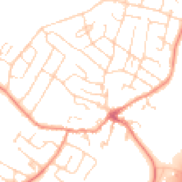
Daytime· 07:00 – 23:00
50.1dB

Night-time· 23:00 – 07:00
40.2dB