9 Dimmingsdale Close, Anstey, Leicester, LE7 7DN
About 9 Dimmingsdale Close
9 Dimmingsdale Close is a four-bedroom property in Anstey, Leicester, Leicester (LE7 7DN). It has council tax band C.
Held since March 2007 — that's 19 years off the open market, well above the local norm. That sale landed at the peak of the pre-credit-crunch market, which is a useful reference point when interpreting the price. One planning record on file: an extension approved in 2003. Past consents include an extension, meaningful when judging how the property has evolved. Across 2003–2007, sale prices on this property compounded at 15.2% per year.
Know exactly what you're buying at 9 Dimmingsdale Close
Before you offer, see what the listing won't tell you, the true value, the red flags and the full history.
Already flagged here
Valuation
against the asking price
Risks
planning & flood
Sold prices
similar homes nearby
Trends
the local market
What this property has
Inside
- Bedrooms4
Energy performance
No EPC on record
This property doesn't have an Energy Performance Certificate yet. An EPC is required to sell or let — and unlocks our automated valuation.
Planning history
- Aug 2003ExtensionFullIn report
Extension: Front of property
Erection of single-storey and first-floor extension to front of semi-detached dwelling with single-storey extension to rear.
- Council
- South
- Documents
- 16 docs on file
- Reference
- P/03/1999/2
We flagged 1 thing worth checking at 9 Dimmingsdale Close
Independent checks surfaced things a buyer would want to understand before offering. The report explains each one in full, with the underlying data and what to ask.
- Larger development activity nearby
30-day money-back guarantee
Sales history & valuation
The latest sale landed at the peak of the pre-credit-crunch market — a high-water reference point.
£190,000
Growth on file: 15.2% per year over 4 years.
Sales timeline
26 March 2007Most recent
£190,000
+76.7%over 4 years14 March 2003
£107,500
Median price across the last 5 sales in LE7 7DN: £232,000 (2025–2014).
Nearby sales in LE7 7DN
18 Dimmingsdale Close, Anstey, Leicester, LE7 7DN
Sold Oct 2025
£300,00021 Dimmingsdale Close, Anstey, Leicester, LE7 7DN
Sold Jun 2020
£255,0001 Dimmingsdale Close, Anstey, Leicester, LE7 7DN
Sold Oct 2016
£232,00016 Dimmingsdale Close, Anstey, Leicester, LE7 7DN
Sold Feb 2015
£195,00019 Dimmingsdale Close, Anstey, Leicester, LE7 7DN
Sold May 2014
£169,950
Everything we know about 9 Dimmingsdale Close, in one report
What it's really worth, what could be wrong, and the planning, sales and area data in full.
What we flagged
- Larger development activity nearby

Similar properties nearby
1 Alvis Dale, Rothley
LE7 7QH
1 Anstige Avenue, Anstey
LE7 7TP
1 Barwell Drive, Rothley
LE7 7WB
1 Arguile Avenue, Anstey
LE7 7SW
1 Brookfield Road, Rothley
LE7 7RX
1 Bates Hollow, Rothley
LE7 7RT
1 Birkdale Road, Anstey
LE7 7DF
1 Burrow Drive, Rothley
LE7 7RZ
The neighbourhood at a glance
Daytime road noise here sits well below conversation level — a quiet pocket of the postcode.
Crime
2/mo
Steady year-on-year across the wider district.
Nearest stop
0.1 km
Balladine Road — bus stop.
Closest school
0.2 km
Woolden Hill Primary School. 11 schools nearby.
Go deeper on the local area
The full report breaks down crime, transport links, schools and air quality in depth.
Road noise across the postcode
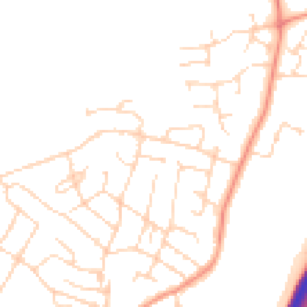
Daytime· 07:00 – 23:00
47.8dB

Night-time· 23:00 – 07:00
38.9dB