2 Avenue Close, Queniborough, Leicester, LE7 3DS
About 2 Avenue Close
2 Avenue Close is a property in Queniborough, Leicester, Leicester (LE7 3DS). It has council tax band C.
Held since October 2003 — that's 23 years off the open market, well above the local norm.
Know exactly what you're buying at 2 Avenue Close
Before you offer, see what the listing won't tell you, the true value, the red flags and the full history.
Valuation
against the asking price
Risks
planning & flood
Sold prices
similar homes nearby
Trends
the local market
Energy performance
No EPC on record
This property doesn't have an Energy Performance Certificate yet. An EPC is required to sell or let — and unlocks our automated valuation.
Planning history
2 Avenue Close has no planning applications on record.
The full report still covers planning activity across the surrounding area.
Sales history & valuation
£140,000
Recorded with HM Land Registry.
Sales timeline
23 October 2003Most recent
£140,000
Median price across the last 5 sales in LE7 3DS: £218,000 (2024–2015).
Nearby sales in LE7 3DS
7 Avenue Close, Queniborough, Leicester, LE7 3DS
Sold Jul 2024
£252,5003 Avenue Close, Queniborough, Leicester, LE7 3DS
Sold Jun 2023
£267,5001 Avenue Close, Queniborough, Leicester, LE7 3DS
Sold Jul 2015
£150,0005 Avenue Close, Queniborough, Leicester, LE7 3DS
Sold May 2015
£182,0004 Avenue Close, Queniborough, Leicester, LE7 3DS
Sold Nov 2006
£179,000
Everything we know about 2 Avenue Close, in one report
What it's really worth, what could be wrong, and the planning, sales and area data in full.
- Am I paying too much?
- Is something wrong with it?
- Is the agent's story true?
- Will it hold its value?

Similar properties nearby
1 Coopers Nook, East Goscote
LE7 3ZB
1 Badgers Corner, East Goscote
LE7 3WS
1 Avenue Close, Queniborough
LE7 3DS
1 Bluebell Close, Queniborough
LE7 3UY
1 Barn Field Close, Barkby
LE7 3RF
1 Chestnut Close, Queniborough
LE7 3DW
1 Ervin Way, Queniborough
LE7 3TT
1 Fletchers Way, East Goscote
LE7 3ZH
The neighbourhood at a glance
Crime
2/mo
Steady year-on-year across the wider district.
Nearest stop
0.1 km
Avenue Road — bus stop.
Closest school
0.6 km
Queniborough Church of England Primary School. 7 schools nearby.
Go deeper on the local area
The full report breaks down crime, transport links, schools and air quality in depth.
Road noise across the postcode
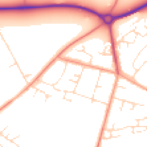
Daytime· 07:00 – 23:00
51.5dB

Night-time· 23:00 – 07:00
41.9dB