43 Markfield Road, Groby, Leicester, LE6 0FL
About 43 Markfield Road
43 Markfield Road is a detached house in Groby, Leicester, Leicester (LE6 0FL). It has a recorded floor area of 120 m² (around 1292 sq ft), construction records dating it to before 1900 and council tax band E. The latest certificate (March 2019) shows an F (score 23), near the bottom of the EPC scale. The recommended improvements would lift it to C (score 76), a 3-band jump.
At 120 m² the property is well over the postcode median (89 m² across 29 EPCs), placing it in the larger end of the local stock. On energy efficiency it sits in the bottom 10% of properties in this postcode — significant headroom for improvement. Today's modelled estimate of £485,000 is 24.4% above the 2021 sale price. On a £-per-square-foot basis, the last sale (£302/sq ft) was about 43.9% above the typical sold price in the postcode. Most recent transfer: March 2021 at £390,000. That sale was during the post-pandemic price surge, when transactions cleared materially above pre-2020 trend.
Everything you need to know about 43 Markfield Road
The true value, the hidden risks and the full sale history, in one report.
30-day money-back guarantee

The data behind every report


Energy performance
43 Markfield Road sits at the bottom of the postcode for energy efficiency — meaningful headroom to improve.
EPC Rating
Planning history
43 Markfield Road has no planning applications on record.
The full report still covers planning activity across the surrounding area.
Sales history & valuation
The latest sale landed in the post-pandemic price surge — useful context when reading the figure.
£485,000
Modelled from EPC, postcode comparables.
£390,000
Recorded with HM Land Registry.
Sales timeline
25 March 2021Most recent
£390,000
Median price across the last 5 sales in LE6 0FL: £315,000 (2025–2021).
Nearby sales in LE6 0FL
71 Markfield Road, Groby, Leicester, LE6 0FL
Sold Mar 2025
£325,00073 Markfield Road, Groby, Leicester, LE6 0FL
Sold Jun 2024
£178,00069 Markfield Road, Groby, Leicester, LE6 0FL
Sold Aug 2023
£315,00045 Markfield Road, Groby, Leicester, LE6 0FL
Sold Dec 2021
£400,0009 Markfield Road, Groby, Leicester, LE6 0FL
Sold Feb 2021
£147,000
Versus other Markfield Road homes
On epc rating, 43 Markfield Road runs well behind the street norm.
Price per m²
£3,250
Street avg £2,493
Floor Area
120 m²
Street avg 122 m²
Habitable Rooms
5 rooms
Street avg 5 rooms
CO₂ Emissions
12.0 t/year
Street avg 7.2 t/year
Everything you need to know about 43 Markfield Road
The true value, the hidden risks and the full sale history, in one report.
30-day money-back guarantee
The data behind every report
Similar properties nearby
1 Butler Close, Ratby
LE6 0GD
1 Buttercup Close, Groby
LE6 0AY
1 Bluebell Drive, Groby
LE6 0AX
1 Buckingham Close, Groby
LE6 0YX
1 Bracken Hill, Newtown Linford
LE6 0HJ
1 Buttercup Grove, Ratby
LE6 0PE
1 Astill Close, Ratby
LE6 0SA
1 Cedar Court, Groby
LE6 0ET
The neighbourhood at a glance
Crime
2/mo
Steady year-on-year across the wider district.
Nearest stop
0.2 km
A50 Junction — bus stop.
Closest school
0.3 km
Martinshaw Primary School. 8 schools nearby.
Go deeper on the local area
The full report breaks down crime, transport links, schools and air quality in depth.
Road noise across the postcode
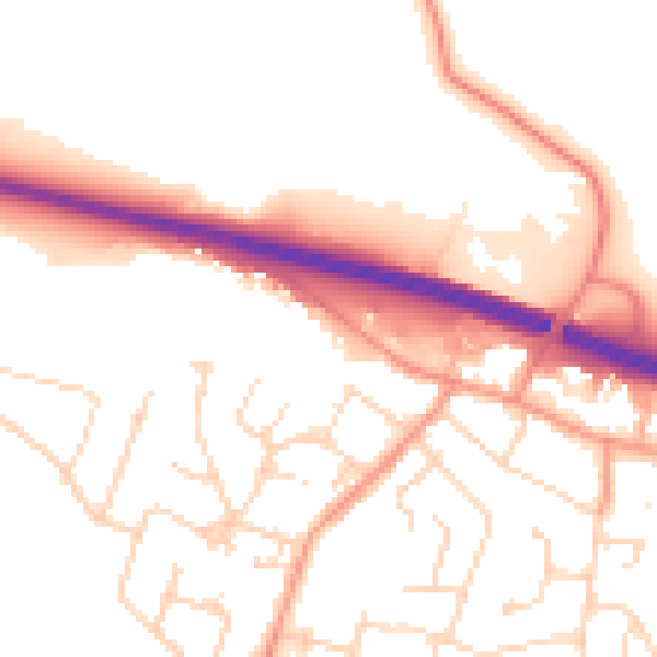
Daytime· 07:00 – 23:00
52.7dB

Night-time· 23:00 – 07:00
43.2dB