11 Branting Hill, Groby, Leicester, LE6 0DB
About 11 Branting Hill
11 Branting Hill is a three-bedroom detached house in Groby, Leicester, Leicester (LE6 0DB). It has a recorded floor area of 118 m² (around 1270 sq ft) and council tax band E. The latest certificate (January 2018) shows a C (score 80), near the top of the C band. The recommended improvements would push it to B (score 91).
At 118 m² the property is well over the postcode median (86 m² across 12 EPCs), placing it in the larger end of the local stock. Its energy rating outperforms most of the postcode (better than 75% of similar EPCs). On the market in March 2018 and unlisted since — roughly 8 years. Across 2009–2018, sale prices on this property compounded at 3% per year. Today's modelled estimate of £373,000 is 24.3% above the 2018 sale price.
What this property has
Inside
- Bedrooms3
- Dining roomYes
- EnsuiteYes
Outside
- GarageYes
Building
- RefurbishedYes
Everything you need to know about 11 Branting Hill
The true value, the hidden risks and the full sale history, in one report.
30-day money-back guarantee

The data behind every report


Energy performance
EPC Rating
Planning history
11 Branting Hill has no planning applications on record.
The full report still covers planning activity across the surrounding area.
Sales history & valuation
11 Branting Hill valuation sits well clear of the typical sold price in this postcode.
£373,000
Modelled from EPC, postcode comparables and a sale-price growth of 3.0% per year over 9 years.
£300,000
Growth on file: 3.0% per year over 9 years.
Sales timeline
7 March 2018Most recent
£300,000
+30.4%over 8 years23 March 2009
£230,000
Median price across the last 5 sales in LE6 0DB: £257,000 (2025–2022).
Nearby sales in LE6 0DB
8 Branting Hill, Groby, Leicester, LE6 0DB
Sold Jul 2025
£338,00026 Branting Hill, Groby, Leicester, LE6 0DB
Sold Sept 2024
£220,0005 Branting Hill, Groby, Leicester, LE6 0DB
Sold Sept 2023
£255,00024 Branting Hill, Groby, Leicester, LE6 0DB
Sold Sept 2022
£310,0006 Branting Hill, Groby, Leicester, LE6 0DB
Sold Apr 2019
£227,500
Versus other Branting Hill homes
On epc rating, 11 Branting Hill stands well clear of the street.
Price per m²
£2,542
Street avg £2,476
Floor Area
118 m²
Street avg 91 m²
CO₂ Emissions
2.4 t/year
Street avg 4.5 t/year
Years Held
8 years
Street avg 9 years
Everything you need to know about 11 Branting Hill
The true value, the hidden risks and the full sale history, in one report.
30-day money-back guarantee
The data behind every report
Similar properties nearby
1 Brook Drive, Ratby
LE6 0AQ
1 Castle Rise, Groby
LE6 0YQ
1 Ash Court, Groby
LE6 0EH
1 Bumblebee Close, Ratby
LE6 0PB
1 Astill Close, Ratby
LE6 0SA
1 Buttercup Grove, Ratby
LE6 0PE
1 Bracken Hill, Newtown Linford
LE6 0HJ
1 Cedar Court, Groby
LE6 0ET
The neighbourhood at a glance
Crime
2/mo
Steady year-on-year across the wider district.
Nearest stop
0.1 km
Anstey Lane Roundabout — bus stop.
Closest school
1.2 km
Elizabeth Woodville Primary School. 15 schools nearby.
Go deeper on the local area
The full report breaks down crime, transport links, schools and air quality in depth.
Road noise across the postcode
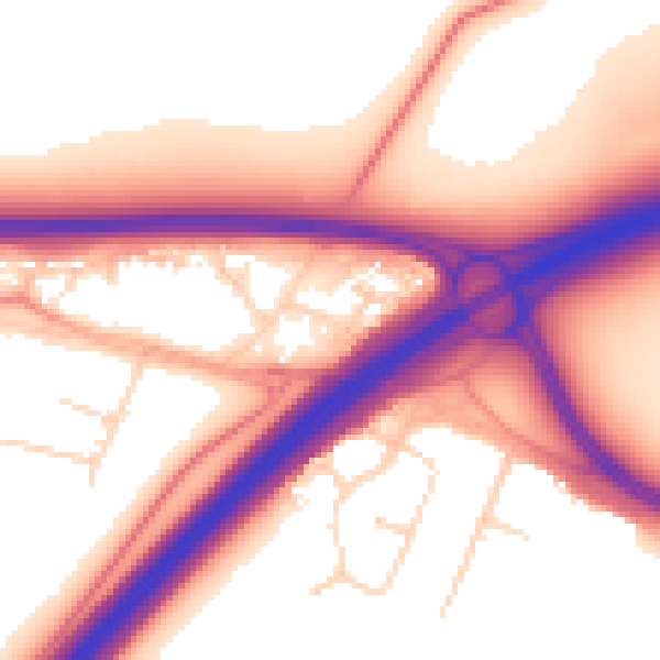
Daytime· 07:00 – 23:00
57.7dB

Night-time· 23:00 – 07:00
49.3dB