12 Ivy Road, Leicester, LE3 0DF
About 12 Ivy Road
12 Ivy Road is a three-bedroom mid-terrace house in Leicester (LE3 0DF). It has a recorded floor area of 83 m² (around 893 sq ft), construction records dating it to 1900-1929 and council tax band A. The latest certificate (September 2022) shows a D (score 59), a step below the typical UK home. The rating has held steady at D across 2 certificates since August 2012. Between certificates, roof efficiency dropped from Average to Very Poor and lighting dropped from Very Good to Good. The recommended improvements would push it to C (score 78).
Untraded for 20 years, with the last transfer in February 2006. Across 2002–2006, sale prices on this property compounded at 11.5% per year. Today's modelled estimate of £192,000 sits 85.5% above the 2006 sale of £103,500.
What this property has
Inside
- Bedrooms3
- Bathrooms1
- Dining roomYes
Outside
- Private gardenWest-facing
Building
- RefurbishedYes
Everything you need to know about 12 Ivy Road
The true value, the hidden risks and the full sale history, in one report.
Pick your report · every report is £14.99
One time fee only - money back guarantee

The data behind every report


Energy performance
EPC Rating
Get a survey for this property
Level 3 Building Survey
Because the property was built before 1919 and has solid (non-cavity) walls, we believe a Level 3 building survey should be considered.
From £820 · Includes VAT
Planning history
12 Ivy Road has no planning applications on record.
But the area is active
38 notable applications nearby — larger schemes and conversions that could reshape the street. The report maps them all.
Sales history & valuation
12 Ivy Road saw 3 transfers in just over a decade — high turnover for the postcode.
£192,000
Modelled from EPC, postcode comparables and a sale-price growth of 11.5% per year over 4 years.
£103,500
Growth on file: 11.5% per year over 4 years.
Sales timeline
17 February 2006Most recent
£103,500
+23.2%over 3 years7 February 2003
£84,000
+25.4%over 12 months15 February 2002
£67,000
Median price across the last 5 sales in LE3 0DF: £187,000 (2025–2024).
Versus other Ivy Road homes
Habitable Rooms for 12 Ivy Road runs comfortably ahead of the street norm.
Price per m²
£1,247
Street avg £1,657
Floor Area
83 m²
Street avg 83 m²
Habitable Rooms
5 rooms
Street avg 4 rooms
CO₂ Emissions
4.6 t/year
Street avg 4.9 t/year
Everything you need to know about 12 Ivy Road
The true value, the hidden risks and the full sale history, in one report.
Pick your report · every report is £14.99
One time fee only - money back guarantee
The data behind every report
Similar properties nearby
The neighbourhood at a glance
Reported crime in the wider district is trending notably upward year-on-year.
Crime
7/mo
Rising year-on-year across the wider district.
Nearest stop
0.1 km
Westleigh Road — bus stop.
Closest school
0.6 km
St Mary's Fields Academy. 44 schools nearby.
Go deeper on the local area
A Local Area report breaks down crime, transport links, schools and air quality in depth.
Road noise across the postcode
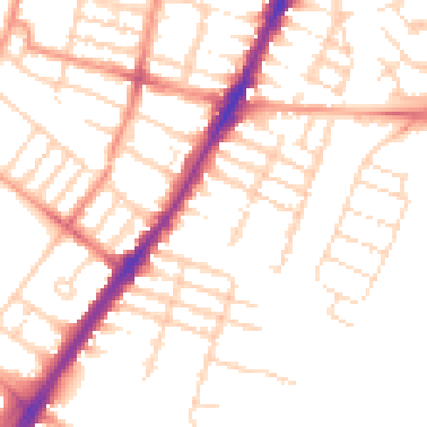
Daytime· 07:00 – 23:00
51.1dB

Night-time· 23:00 – 07:00
40.4dB