Flat 2, 55 New Walk, Leicester, LE1 7EA
About Flat 2
Flat 2 is a semi-detached house in Leicester (LE1 7EA). It has a recorded floor area of 86 m² (around 926 sq ft), construction records dating it to 1900-1929 and council tax band B. At 86 m² this is the 3rd smallest of 4 units on EPC record in the building, where floor areas span 25–89 m². The building's EPC ratings span D to C, with this unit at the top. The latest certificate (January 2023) shows a C (score 70). When first surveyed in August 2012 the rating was D, the property has climbed 1 band since. The recommended improvements would push it to B (score 81).
At 86 m² the property is well over the postcode median (42 m² across 16 EPCs), placing it in the larger end of the local stock.
Everything you need to know about Flat 2
The true value, the hidden risks and the full sale history, in one report.
Pick your report · every report is £14.99
One time fee only - money back guarantee

The data behind every report


Energy performance
EPC Rating
Property Improvements
Changes detected from historical EPC data
Heating system changed
Changed to a more efficient fuel source
Hot water system changed
Cavity wall insulation installed
Replaced storage heaters with gas boiler
Connected to mains gas supply
Heating controls upgraded for better temperature management
Hot water system upgraded
Windows upgraded to triple glazing
Get a survey for this property
Level 3 Building Survey
Because the property was built before 1919 and has solid (non-cavity) walls, we believe a Level 3 building survey should be considered.
From £885 · Includes VAT
Planning history
Flat 2 has no planning applications on record.
But the area is active
1 notable application nearby — larger schemes and conversions that could reshape the street. The report maps them all.
Sales history & valuation
Flat 2 has no Land Registry sales on file, suggesting it has stayed in the same hands since registration began.
£237,000
Modelled from EPC, postcode comparables.
No sales recorded with HM Land Registry
That can mean the property has never traded since the registry began publishing in 1995, was a new build that hasn't been registered yet, or is held in the same hands long-term.
Median price across the last 1 sales in LE1 7EA: £740,000 (2017–2017).
Nearby sales in LE1 7EA
Versus other New Walk homes
On co₂ emissions, Flat 2 runs well behind the street norm.
EPC Rating
70 (C)
Street avg 71 (C)
Floor Area
86 m²
Street avg 44 m²
CO₂ Emissions
3.2 t/year
Street avg 1.7 t/year
Habitable Rooms
4 rooms
Street avg 3 rooms
Everything you need to know about Flat 2
The true value, the hidden risks and the full sale history, in one report.
Pick your report · every report is £14.99
One time fee only - money back guarantee
The data behind every report
Similar properties nearby
The neighbourhood at a glance
Rail-style transport is unusually close for this postcode.
Crime
13/mo
Rising year-on-year across the wider district.
Nearest stop
0.2 km
Prebend Street — bus stop.
Closest school
0.3 km
Beauchamp City Sixth Form. 53 schools nearby.
Go deeper on the local area
A Local Area report breaks down crime, transport links, schools and air quality in depth.
Road noise across the postcode
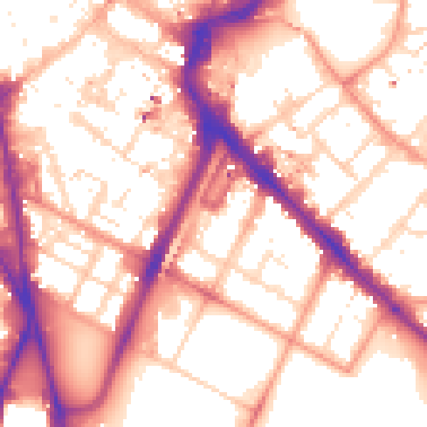
Daytime· 07:00 – 23:00
56.5dB

Night-time· 23:00 – 07:00
46.3dB