13 Woodboy Street, Leicester, LE1 3NJ
About 13 Woodboy Street
13 Woodboy Street is a two-bedroom end-of-terrace house in Leicester (LE1 3NJ). It has a recorded floor area of 63 m² (around 678 sq ft), construction records dating it to 1950-1966 and council tax band A. The latest certificate (February 2020) shows a D (score 68), on the cusp of jumping into the C band. The recommended improvements would lift it to B (score 85), a 2-band jump.
Held since December 2007 — that's 18 years off the open market, well above the local norm. That sale landed at the peak of the pre-credit-crunch market, which is a useful reference point when interpreting the price. At 63 m² it's 17.6% smaller than the typical home in the postcode (77 m² median across 14 EPCs). It lags the bulk of the postcode on energy efficiency (less efficient than 71% of similar EPCs). Across 2001–2007, sale prices on this property compounded at 14.2% per year. Today's modelled estimate of £131,000 is 29.1% above the 2007 sale price.
What this property has
Inside
- Bedrooms2
Everything you need to know about 13 Woodboy Street
The true value, the hidden risks and the full sale history, in one report.
Pick your report · every report is £14.99
One time fee only - money back guarantee

The data behind every report


Energy performance
Recommended upgrades on file would lift this property by multiple EPC bands.
EPC Rating
Get a survey for this property
Level 2 HomeBuyer Report
We've checked 10 risk factors against the available data for this property and believe a Level 2 HomeBuyer Report could be a suitable option for you.
From £495 · Includes VAT
Planning history
13 Woodboy Street has no planning applications on record.
A planning report still maps activity across the surrounding area and reads this property's extension & conversion potential.
Sales history & valuation
13 Woodboy Street has more than doubled in price since the earliest registered sale in 2001.
£131,000
Modelled from EPC, postcode comparables and a sale-price growth of 14.2% per year over 7 years.
£101,500
Growth on file: 14.2% per year over 7 years.
Sales timeline
10 December 2007Most recent
£101,500
+150.6%over 6 years5 January 2001
£40,500
Median price across the last 5 sales in LE1 3NJ: £155,000 (2022–2015).
Nearby sales in LE1 3NJ
Versus other Woodboy Street homes
Floor Area for 13 Woodboy Street lags the street by a wide margin.
Price per m²
£1,611
Street avg £1,738
Floor Area
63 m²
Street avg 74 m²
Habitable Rooms
4 rooms
Street avg 4 rooms
CO₂ Emissions
2.7 t/year
Street avg 2.9 t/year
Everything you need to know about 13 Woodboy Street
The true value, the hidden risks and the full sale history, in one report.
Pick your report · every report is £14.99
One time fee only - money back guarantee
The data behind every report
Similar properties nearby
The neighbourhood at a glance
Reported crime in the wider district is trending notably upward year-on-year.
Crime
13/mo
Rising year-on-year across the wider district.
Nearest stop
0.1 km
George Street — bus stop.
Closest school
0.4 km
Taylor Road Primary School. 57 schools nearby.
Go deeper on the local area
A Local Area report breaks down crime, transport links, schools and air quality in depth.
Road noise across the postcode
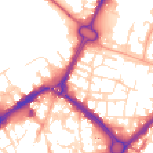
Daytime· 07:00 – 23:00
55.4dB

Night-time· 23:00 – 07:00
45.5dB