Flat 20, 2 Church Street, Leicester, LE1 1LG
About Flat 20
Flat 20 is a detached house in Leicester (LE1 1LG). It has a recorded floor area of 89 m² (around 958 sq ft) and council tax band C. The latest certificate (July 2015) returns a B (score 81), comfortably above the UK average. Main heating runs on electricity: electricity, unspecified tariff. The latest certificate is from July 2015, so improvements made since then won't be reflected. At 89 m² this is the 13th smallest of 28 units on EPC record in the building, where floor areas span 63–133 m². The building's EPC ratings span D to B, with this unit at the top.
Across 2015–2017, sale prices on this property compounded at 20.2% per year. On a £-per-square-foot basis, the last sale (£162/sq ft) was about 19.8% above the typical sold price in the postcode. On the market in April 2017 and unlisted since — roughly 9 years.
Everything you need to know about Flat 20
The true value, the hidden risks and the full sale history, in one report.
Pick your report · every report is £14.99
One time fee only - money back guarantee

The data behind every report


Energy performance
EPC Expired
This certificate is over 10 years old and is no longer valid.Expired 09 Jul 2025
EPC Rating
Get a survey for this property
Level 2 HomeBuyer Report
We've checked 10 risk factors against the available data for this property and believe a Level 2 HomeBuyer Report could be a suitable option for you.
From £495 · Includes VAT
Planning history
Flat 20 has no planning applications on record.
But the area is active
2 notable applications nearby — larger schemes and conversions that could reshape the street. The report maps them all.
Sales history & valuation
Flat 20 saw 3 transfers in just over a decade — high turnover for the postcode.
£161,000
Modelled from EPC, postcode comparables and a sale-price growth of 20.2% per year over 2 years.
£155,000
Growth on file: 20.2% per year over 2 years.
Sales timeline
17 April 2017Most recent
£155,000
+6.9%over 1 year29 September 2015
£145,000
+25.8%6 September 2015
£115,231
Median price across the last 5 sales in LE1 1LG: £152,500 (2021–2018).
Nearby sales in LE1 1LG
Flat 16, 2 Church Street, Leicester, LE1 1LG
Sold Mar 2021
£152,500Flat 12a, 2 Church Street, Leicester, LE1 1LG
Sold Feb 2021
£145,500Flat 27, 2 Church Street, Leicester, LE1 1LG
Sold May 2019
£130,000Flat 12, 2 Church Street, Leicester, LE1 1LG
Sold Mar 2019
£153,000Flat 6, 2 Church Street, Leicester, LE1 1LG
Sold Aug 2018
£175,000
Versus other Church Street homes
Flat 20 outperforms the street on price per m² by a wide margin.
Price per m²
£1,742
Street avg £1,569
Floor Area
89 m²
Street avg 91 m²
CO₂ Emissions
0.0 t/year
Street avg 0.4 t/year
Years Held
9 years
Street avg 10 years
Everything you need to know about Flat 20
The true value, the hidden risks and the full sale history, in one report.
Pick your report · every report is £14.99
One time fee only - money back guarantee
The data behind every report
Similar properties nearby
142b, Flat 12, Charles Street
LE1 1LH
142b, Flat 10, Charles Street
LE1 1LH
122a, Flat 23, Charles Street
LE1 1LB
122a, Flat 14, Charles Street
LE1 1LB
122a, Flat 6, Charles Street
LE1 1LB
122a, Flat 7, Charles Street
LE1 1LB
142b, Flat 13, Charles Street
LE1 1LH
142b, Flat 1, Charles Street
LE1 1LH
The neighbourhood at a glance
Rail-style transport is unusually close for this postcode.
Crime
13/mo
Rising year-on-year across the wider district.
Nearest stop
0.2 km
Leicester Mercury — bus stop.
Closest school
0.3 km
Beauchamp City Sixth Form. 55 schools nearby.
Go deeper on the local area
A Local Area report breaks down crime, transport links, schools and air quality in depth.
Road noise across the postcode
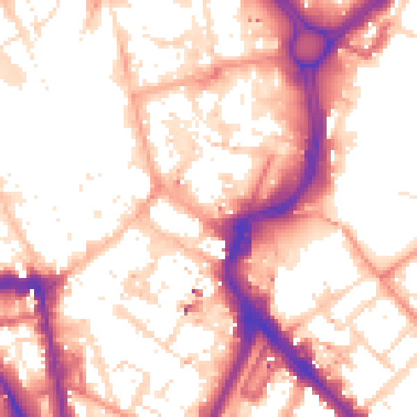
Daytime· 07:00 – 23:00
55.9dB

Night-time· 23:00 – 07:00
46.0dB