15 Butterbergh, Bentham, Lancaster, LA2 7FG
About 15 Butterbergh
15 Butterbergh is a two-bedroom semi-detached house in Bentham, Lancaster, Lancaster (LA2 7FG). It has a recorded floor area of 81 m² (around 877 sq ft), construction records dating it to 2003-2006 and council tax band D. The latest certificate (August 2010) shows a C (score 71). The latest certificate is from August 2010, so improvements made since then won't be reflected. Other recorded features include a conservatory.
2 planning records sit against the property, 1 approved, 0 refused. Past consents include tree works, meaningful when judging how the property has evolved. Across 2005–2012, sale prices on this property compounded at 1.5% per year. Today's modelled estimate of £245,000 is 25.6% above the 2012 sale price. On a £-per-square-foot basis, the last sale (£222/sq ft) was about 28.7% above the typical sold price in the postcode. On the market in July 2012 and unlisted since — roughly 14 years. At 81 m² it's 28.5% smaller than the typical home in the postcode (114 m² median across 13 EPCs).
Know exactly what you're buying at 15 Butterbergh
Before you offer, see what the listing won't tell you, the true value, the red flags and the full history.
Already flagged here
Launch offer · save £5
Valuation
against the asking price
Risks
planning & flood
Sold prices
similar homes nearby
Trends
the local market
What this property has
Inside
- Bedrooms2
- Dining roomYes
- ConservatoryYes
Outside
- Private gardenrear
- GarageYes
Building
- Heating systemgas
- RefurbishedYes
Energy performance
15 Butterbergh's EPC is over a decade old — improvements since won't be reflected.
EPC Expired
This certificate is over 10 years old and is no longer valid.Expired 09 Aug 2020
EPC Rating
Planning history
Planning history at 15 Butterbergh is exclusively tree-management applications — typical for a property with mature trees on or near the plot.
- Aug 2018Tree WorksTreesIn report
T1 Beech - Crown lift and thin by 30%.
- Documents
- 6 docs on file
- Reference
- 2018/19447/TPO
- Jul 2005Tree WorksTreesIn report
Crown Thin And Crown Lift 1 No. Beech by 15 - 20 %
- Council
- NCA
- Reference
- 08/2005/5515
We flagged 1 thing worth checking at 15 Butterbergh
Independent checks surfaced things a buyer would want to understand before offering. The report explains each one in full, with the underlying data and what to ask.
- Larger development activity nearby
30-day money-back guarantee
Sales history & valuation
15 Butterbergh valuation sits well clear of the typical sold price in this postcode.
£245,000
Modelled from EPC, postcode comparables and a sale-price growth of 1.5% per year over 7 years.
£195,000
Growth on file: 1.5% per year over 7 years.
Sales timeline
5 July 2012Most recent
£195,000
+11.4%over 7 years11 March 2005
£175,000
Median price across the last 5 sales in LA2 7FG: £250,000 (2025–2016).
Nearby sales in LA2 7FG
19 Butterbergh, Bentham, Lancaster, LA2 7FG
Sold Oct 2025
£284,00024 Butterbergh, Bentham, Lancaster, LA2 7FG
Sold Aug 2023
£325,00020 Butterbergh, Bentham, Lancaster, LA2 7FG
Sold Aug 2023
£230,00014 Butterbergh, Bentham, Lancaster, LA2 7FG
Sold Oct 2020
£220,0008 Butterbergh, Bentham, Lancaster, LA2 7FG
Sold Mar 2015
£166,500
Everything we know about 15 Butterbergh, in one report
What it's really worth, what could be wrong, and the planning, sales and area data in full.
What we flagged
- Larger development activity nearby

Versus other Butterbergh homes
15 Butterbergh is notably below the street on habitable rooms.
Price per m²
£2,393
Street avg £1,936
Floor Area
81 m²
Street avg 116 m²
Habitable Rooms
4 rooms
Street avg 5 rooms
CO₂ Emissions
3.2 t/year
Street avg 3.5 t/year
Similar properties nearby
1 Ashfield Cottages, Main Street, Bentham
LA2 7HZ
1 Calverleys Yard, School Hill, Bentham
LA2 7JX
1 Borrans Cottage, Burton Road, Lower Bentham
LA2 7EB
1 Butterbergh, Bentham
LA2 7FG
1 Collingwood Drive, Lower Bentham
LA2 7GH
1 Crow Trees, Lower Bentham
LA2 7EE
1 Ashbank Villas, Bentham
LA2 7HX
1 Brentwood Cottages, Main Street, Lower Bentham
LA2 7BY
The neighbourhood at a glance
Rail-style transport is unusually close for this postcode.
Crime
3/mo
Steady year-on-year across the wider district.
Nearest stop
0.1 km
Butts Lane Top — bus stop.
Closest school
0.8 km
Bentham Community Primary School. 1 school nearby.
Go deeper on the local area
The full report breaks down crime, transport links, schools and air quality in depth.
Road noise across the postcode
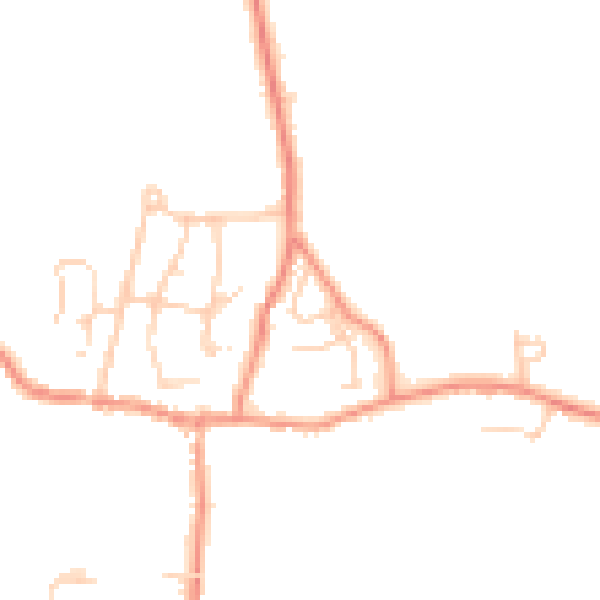
Daytime· 07:00 – 23:00
44.1dB

Night-time· 23:00 – 07:00
36.8dB