47 Orrell Lane, Liverpool, L9 8BX
About 47 Orrell Lane
47 Orrell Lane is a detached house in Liverpool (L9 8BX). It has a recorded floor area of 247 m² (around 2659 sq ft), construction records dating it to 1900-1929 and council tax band C. The latest certificate (July 2020) shows a D (score 59), a step below the typical UK home. The recommended improvements would push it to C (score 74).
At 247 m² the property is well over the postcode median (56 m² across 27 EPCs), placing it in the larger end of the local stock. On a £-per-square-foot basis, the last sale (£132/sq ft) was about 77.1% above the typical sold price in the postcode. 2 planning records sit against the property, 0 approved, 0 refused. Sold January 2019 for £350,000.
Know exactly what you're buying at 47 Orrell Lane
Before you offer, see what the listing won't tell you, the true value, the red flags and the full history.
Valuation
against the asking price
Risks
planning & flood
Sold prices
similar homes nearby
Trends
the local market
Energy performance
47 Orrell Lane's carbon output runs well above what efficient homes in the postcode produce.
EPC Rating
Planning history
- Jan 2026OutlineIn report
Application for Certificate of Existing Lawful Development from a GP surgery (Use class E) to a residential dwelling (C3 use).
- Reference
- 26LE/0322
- Sept 2005AmendmentIn report
To provide Certificate of Lawfulness for existing use as Doctor's Surgery
Retrospective- Documents
- 3 docs on file
- Reference
- PL/INV/3054/05
What's in 47 Orrell Lane, Liverpool, L9 8BX's planning history?
Refusals, disputes and full decisions on this property and nearby, in the report.
Sales history & valuation
Latest sale on 47 Orrell Lane was the highest on Land Registry record across the postcode.
£321,000
Modelled from EPC, postcode comparables.
£350,000
Recorded with HM Land Registry.
Sales timeline
29 January 2019Most recent
£350,000
Median price across the last 5 sales in L9 8BX: £125,000 (2024–2016).
Everything we know about 47 Orrell Lane, in one report
What it's really worth, what could be wrong, and the planning, sales and area data in full.
- Am I paying too much?
- Is something wrong with it?
- Is the agent's story true?
- Will it hold its value?

Versus other Orrell Lane homes
On price per m², 47 Orrell Lane stands well clear of the street.
Price per m²
£1,417
Street avg £987
Floor Area
247 m²
Street avg 160 m²
Habitable Rooms
10 rooms
Street avg 6 rooms
CO₂ Emissions
11.0 t/year
Street avg 8.6 t/year
Similar properties nearby
The neighbourhood at a glance
Rail-style transport is unusually close for this postcode.
Crime
33/mo
Steady year-on-year across the wider district.
Nearest stop
0.1 km
Redvers Drive — bus stop.
Closest school
0.5 km
Rice Lane Primary School and Nursery. 45 schools nearby.
Go deeper on the local area
The full report breaks down crime, transport links, schools and air quality in depth.
Road noise across the postcode
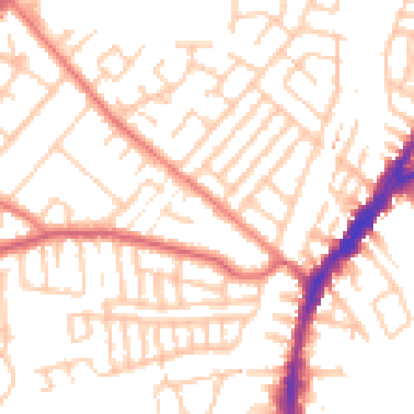
Daytime· 07:00 – 23:00
52.0dB
Night-time· 23:00 – 07:00
41.3dB