6 Albert Drive, Liverpool, L9 8BQ
About 6 Albert Drive
6 Albert Drive is a property in Liverpool (L9 8BQ). It has council tax band C.
It hasn't traded since July 2006, a hold of 20 years that's notably long for the area. 3 planning records sit against the property, 2 approved, 0 refused. Past consents include an extension, meaningful when judging how the property has evolved. Across 2004–2006, sale prices on this property compounded at 58% per year.
Know exactly what you're buying at 6 Albert Drive
Before you offer, see what the listing won't tell you, the true value, the red flags and the full history.
Valuation
against the asking price
Risks
planning & flood
Sold prices
similar homes nearby
Trends
the local market
Energy performance
No EPC on record
This property doesn't have an Energy Performance Certificate yet. An EPC is required to sell or let — and unlocks our automated valuation.
Planning history
- Jun 2022ExtensionFullIn report
Extension: Single storey
To erect first floor extension to the side incorporating juliet balcony and two dormer extensions to the rear.
- Documents
- 21 docs on file
- Reference
- 22H/1070
- Mar 2017ExtensionFullIn report
Extension: Single storey
The application is for first floor extension over garage to the existing house; and 2No. new dormers to second floor bedrooms.
- Reference
- PL/INV/0847/17
What's in 6 Albert Drive, Liverpool, L9 8BQ's planning history?
1 more on this property, plus refusals, disputes and full decisions nearby, in the report.
Sales history & valuation
Sale price has at least doubled since 2004.
£275,000
Growth on file: 58.0% per year over 2 years.
Sales timeline
26 July 2006Most recent
£275,000
+195.7%over 2 years12 March 2004
£93,000
Median price across the last 5 sales in L9 8BQ: £273,500 (2022–2018).
Everything we know about 6 Albert Drive, in one report
What it's really worth, what could be wrong, and the planning, sales and area data in full.
- Am I paying too much?
- Is something wrong with it?
- Is the agent's story true?
- Will it hold its value?

Similar properties nearby
The neighbourhood at a glance
Rail-style transport is unusually close for this postcode.
Crime
33/mo
Steady year-on-year across the wider district.
Nearest stop
0.2 km
Bull Lane — bus stop.
Closest school
0.7 km
Rice Lane Primary School and Nursery. 42 schools nearby.
Go deeper on the local area
The full report breaks down crime, transport links, schools and air quality in depth.
Road noise across the postcode
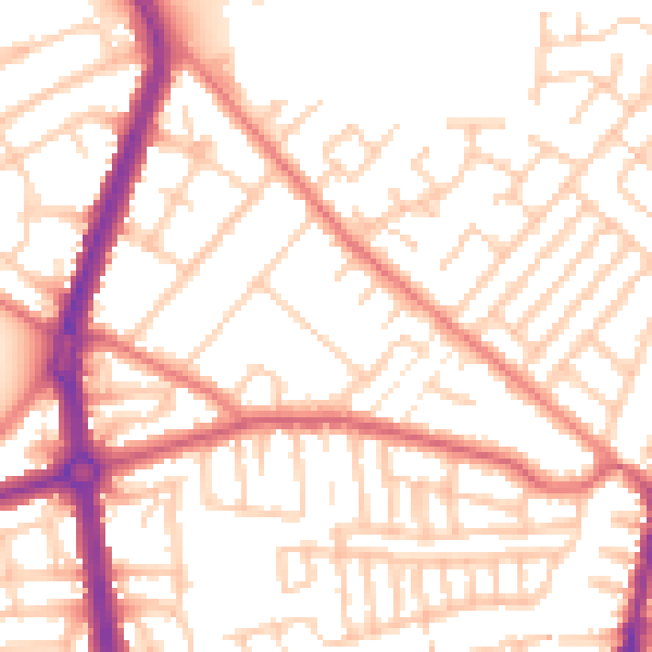
Daytime· 07:00 – 23:00
53.2dB

Night-time· 23:00 – 07:00
42.5dB