159 Lower Lane, Liverpool, L9 7AE
About 159 Lower Lane
159 Lower Lane is a three-bedroom mid-terrace house in Liverpool (L9 7AE). It has a recorded floor area of 85 m² (around 915 sq ft), construction records dating it to 1950-1966 and council tax band A. The latest certificate (January 2023) shows a D (score 64), on the cusp of jumping into the C band. The recommended improvements would lift it to B (score 81), a 2-band jump.
Across 2000–2023, sale prices on this property compounded at 2.9% per year. Today's modelled estimate of £148,000 sits 138.7% above the 2023 sale of £62,000. On a £-per-square-foot basis, the last sale (£68/sq ft) was about 27.1% below the postcode norm. Sold March 2023 for £62,000.
Know exactly what you're buying at 159 Lower Lane
Before you offer, see what the listing won't tell you, the true value, the red flags and the full history.
Valuation
against the asking price
Risks
planning & flood
Sold prices
similar homes nearby
Trends
the local market
What this property has
Inside
- Bedrooms3
- Bathrooms1
Outside
- Private gardenRear
- DrivewayYes
Energy performance
Recommended upgrades on file would lift this property by multiple EPC bands.
EPC Rating
Planning history
159 Lower Lane has no planning applications on record.
The full report still covers planning activity across the surrounding area.
Sales history & valuation
159 Lower Lane's modelled value sits at over four times its earliest registered sale price (2000).
£148,000
Modelled from EPC, postcode comparables and a sale-price growth of 2.9% per year over 23 years.
£62,000
Growth on file: 2.9% per year over 23 years.
Sales timeline
10 March 2023Most recent
£62,000
+91.4%over 22 years23 July 2000
£32,400
Median price across the last 5 sales in L9 7AE: £90,000 (2024–2018).
Everything we know about 159 Lower Lane, in one report
What it's really worth, what could be wrong, and the planning, sales and area data in full.
- Am I paying too much?
- Is something wrong with it?
- Is the agent's story true?
- Will it hold its value?

Versus other Lower Lane homes
Price per m² for 159 Lower Lane lags the street by a wide margin.
Price per m²
£729
Street avg £1,279
Floor Area
85 m²
Street avg 85 m²
Habitable Rooms
5 rooms
Street avg 5 rooms
CO₂ Emissions
3.8 t/year
Street avg 4.0 t/year
Similar properties nearby
107 Ashbrook Drive
L9 7LU
103 Ashbrook Drive
L9 7LU
105 Ashbrook Drive
L9 7LU
105 Whitewood Park
L9 7LF
101 Whitewood Park
L9 7LF
1 Hartleys Village
L9 7AH
102 Whitewood Park
L9 7LG
1 Ashbrook Drive
L9 7LU
The neighbourhood at a glance
Rail-style transport is unusually close for this postcode.
Crime
33/mo
Steady year-on-year across the wider district.
Nearest stop
0.1 km
Aintree University Hospital — bus stop.
Closest school
0.2 km
Holy Name Catholic Primary School. 27 schools nearby.
Go deeper on the local area
The full report breaks down crime, transport links, schools and air quality in depth.
Road noise across the postcode
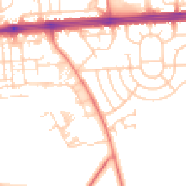
Daytime· 07:00 – 23:00
50.8dB

Night-time· 23:00 – 07:00
40.3dB