17 Lilford Avenue, Liverpool, L9 3AT
About 17 Lilford Avenue
17 Lilford Avenue is a mid-terrace house in Liverpool (L9 3AT). It has a recorded floor area of 86 m² (around 926 sq ft), construction records dating it to 1900-1929 and council tax band A. The latest certificate (February 2025) shows a D (score 63), on the cusp of jumping into the C band. When first surveyed in May 2014 the rating was E, the property has climbed 1 band since. Between certificates, wall efficiency went from Very Poor to Poor and lighting went from Good to Very Good. The recommended improvements would lift it to B (score 87), a 2-band jump.
Across 2007–2016, sale prices on this property compounded at -2.5% per year. Today's modelled estimate of £141,000 is 46.1% above the 2016 sale price. On a £-per-square-foot basis, the last sale (£104/sq ft) was about 28.4% above the typical sold price in the postcode. Last sold in March 2016, so it's been off the market for around 10 years.
Know exactly what you're buying at 17 Lilford Avenue
Before you offer, see what the listing won't tell you, the true value, the red flags and the full history.
Valuation
against the asking price
Risks
planning & flood
Sold prices
similar homes nearby
Trends
the local market
Energy performance
Recommended upgrades on file would lift this property by multiple EPC bands.
EPC Rating
Property Improvements
Changes detected from historical EPC data
Wall insulation improved
Roof insulation improved
More low energy lighting installed
Planning history
17 Lilford Avenue has no planning applications on record.
Notable planning nearby
1applications of note in the surrounding area
Sales history & valuation
17 Lilford Avenue valuation sits well clear of the typical sold price in this postcode.
£141,000
Modelled from EPC, postcode comparables and a sale-price growth of -2.5% per year over 9 years.
£96,500
Growth on file: -2.5% per year over 9 years.
Sales timeline
28 March 2016Most recent
£96,500
-19.6%over 8 years5 July 2007
£120,000
Median price across the last 5 sales in L9 3AT: £136,500 (2025–2023).
Nearby sales in L9 3AT
Everything we know about 17 Lilford Avenue, in one report
What it's really worth, what could be wrong, and the planning, sales and area data in full.
- Am I paying too much?
- Is something wrong with it?
- Is the agent's story true?
- Will it hold its value?

Versus other Lilford Avenue homes
Price per m²
£1,122
Street avg £1,161
Floor Area
86 m²
Street avg 89 m²
Habitable Rooms
5 rooms
Street avg 5 rooms
CO₂ Emissions
3.9 t/year
Street avg 3.9 t/year
Similar properties nearby
The neighbourhood at a glance
Rail-style transport is unusually close for this postcode.
Crime
33/mo
Steady year-on-year across the wider district.
Nearest stop
0.1 km
Burwen Drive — bus stop.
Closest school
0.4 km
Rice Lane Primary School and Nursery. 45 schools nearby.
Go deeper on the local area
The full report breaks down crime, transport links, schools and air quality in depth.
Road noise across the postcode
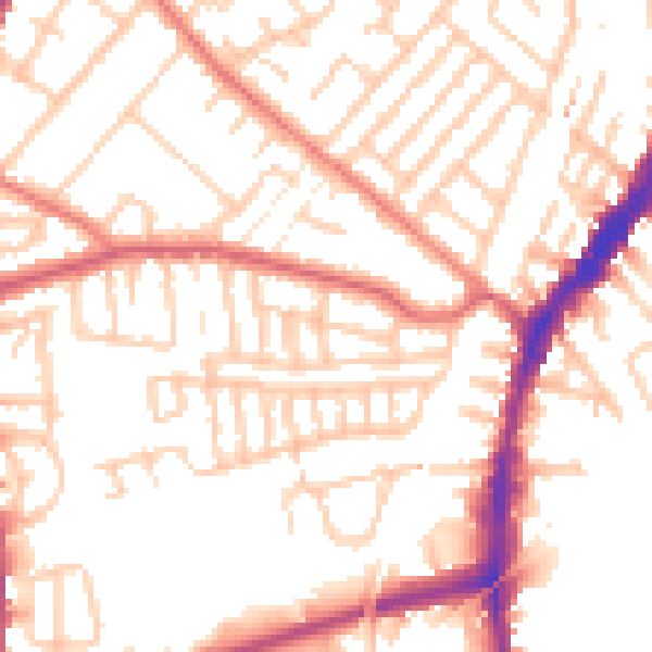
Daytime· 07:00 – 23:00
52.6dB

Night-time· 23:00 – 07:00
42.3dB