8 Spire Green, Walton, Liverpool, L9 2DR
About 8 Spire Green
8 Spire Green is a property in Walton, Liverpool, Liverpool (L9 2DR). It has council tax band C.
Untraded for 19 years, with the last transfer in May 2007. That sale landed at the peak of the pre-credit-crunch market, which is a useful reference point when interpreting the price.
Know exactly what you're buying at 8 Spire Green
Before you offer, see what the listing won't tell you, the true value, the red flags and the full history.
Valuation
against the asking price
Risks
planning & flood
Sold prices
similar homes nearby
Trends
the local market
Energy performance
No EPC on record
This property doesn't have an Energy Performance Certificate yet. An EPC is required to sell or let — and unlocks our automated valuation.
Planning history
8 Spire Green has no planning applications on record.
Notable planning nearby
2applications of note in the surrounding area
Sales history & valuation
The latest sale landed at the peak of the pre-credit-crunch market — a high-water reference point.
£166,250
Recorded with HM Land Registry.
Sales timeline
10 May 2007Most recent
£166,250
Median price across the last 5 sales in L9 2DR: £147,000 (2017–2011).
Nearby sales in L9 2DR
4 Spire Green, Walton, Liverpool, L9 2DR
Sold Nov 2017
£158,0009 Spire Green, Walton, Liverpool, L9 2DR
Sold Dec 2015
£157,5003 Spire Green, Walton, Liverpool, L9 2DR
Sold Oct 2015
£147,0002 Spire Green, Walton, Liverpool, L9 2DR
Sold Aug 2015
£110,0006 Spire Green, Walton, Liverpool, L9 2DR
Sold Mar 2011
£125,000
Everything we know about 8 Spire Green, in one report
What it's really worth, what could be wrong, and the planning, sales and area data in full.
- Am I paying too much?
- Is something wrong with it?
- Is the agent's story true?
- Will it hold its value?

Similar properties nearby
The neighbourhood at a glance
Rail-style transport is unusually close for this postcode.
Crime
33/mo
Steady year-on-year across the wider district.
Nearest stop
0.1 km
Orrell Park Station — bus stop.
Closest school
0.4 km
Rice Lane Primary School and Nursery. 42 schools nearby.
Go deeper on the local area
The full report breaks down crime, transport links, schools and air quality in depth.
Road noise across the postcode
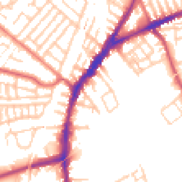
Daytime· 07:00 – 23:00
52.6dB

Night-time· 23:00 – 07:00
43.0dB