7 Lunesdale Avenue, Liverpool, L9 0LA
About 7 Lunesdale Avenue
7 Lunesdale Avenue is a three-bedroom mid-terrace house in Liverpool (L9 0LA). It has a recorded floor area of 86 m² (around 926 sq ft), construction records dating it to 1900-1929 and council tax band A. The latest certificate (June 2025) shows a D (score 67), on the cusp of jumping into the C band. The rating has held steady at D across 2 certificates since May 2015. Between certificates, wall efficiency went from Very Poor to Poor. The recommended improvements would lift it to B (score 88), a 2-band jump. Other recorded features include a conservatory.
Held since December 2001 — that's 24 years off the open market, well above the local norm. Across 1998–2001, sale prices on this property compounded at 19.3% per year. Today's modelled estimate of £133,000 sits 241% above the 2001 sale of £39,000. On a £-per-square-foot basis, the last sale (£42/sq ft) was about 57.1% below the postcode norm.
Know exactly what you're buying at 7 Lunesdale Avenue
Before you offer, see what the listing won't tell you, the true value, the red flags and the full history.
Valuation
against the asking price
Risks
planning & flood
Sold prices
similar homes nearby
Trends
the local market
What this property has
Inside
- Bedrooms3
- Dining roomYes
- ConservatoryYes
Outside
- Private gardenYes
Building
- Heating systemGas
- RefurbishedYes
Energy performance
Recommended upgrades on file would lift this property by multiple EPC bands.
EPC Rating
Property Improvements
Changes detected from historical EPC data
Heating controls changed
Wall insulation improved
Loft insulation upgraded to recommended levels
Planning history
7 Lunesdale Avenue has no planning applications on record.
Notable planning nearby
1applications of note in the surrounding area
Sales history & valuation
7 Lunesdale Avenue's modelled value sits at over four times its earliest registered sale price (1998).
£133,000
Modelled from EPC, postcode comparables and a sale-price growth of 19.3% per year over 3 years.
£39,000
Growth on file: 19.3% per year over 3 years.
Sales timeline
14 December 2001Most recent
£39,000
+73.3%over 3 years30 October 1998
£22,500
Median price across the last 5 sales in L9 0LA: £110,000 (2024–2018).
Nearby sales in L9 0LA
Everything we know about 7 Lunesdale Avenue, in one report
What it's really worth, what could be wrong, and the planning, sales and area data in full.
- Am I paying too much?
- Is something wrong with it?
- Is the agent's story true?
- Will it hold its value?

Versus other Lunesdale Avenue homes
7 Lunesdale Avenue is notably below the street on price per m².
Price per m²
£453
Street avg £1,199
Floor Area
86 m²
Street avg 91 m²
Habitable Rooms
5 rooms
Street avg 5 rooms
CO₂ Emissions
3.4 t/year
Street avg 6.0 t/year
Similar properties nearby
The neighbourhood at a glance
Rail-style transport is unusually close for this postcode.
Crime
33/mo
Steady year-on-year across the wider district.
Nearest stop
0.1 km
Church Avenue — bus stop.
Closest school
0.4 km
Longmoor Community Primary School. 36 schools nearby.
Go deeper on the local area
The full report breaks down crime, transport links, schools and air quality in depth.
Road noise across the postcode
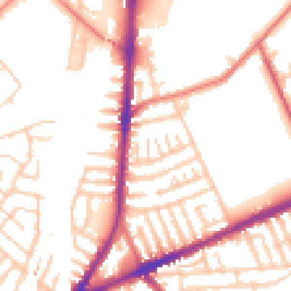
Daytime· 07:00 – 23:00
52.6dB

Night-time· 23:00 – 07:00
43.0dB