23 Lunesdale Avenue, Liverpool, L9 0LA
About 23 Lunesdale Avenue
23 Lunesdale Avenue is a three-bedroom semi-detached house in Liverpool (L9 0LA). It has a recorded floor area of 97 m² (around 1044 sq ft), construction records dating it to 1983-1990 and council tax band B. The latest certificate (April 2021) shows a D (score 63), on the cusp of jumping into the C band. The rating has held steady at D across 2 certificates since July 2015. Between certificates, roof efficiency went from Average to Good; while window efficiency dropped from Good to Average. The recommended improvements would lift it to B (score 84), a 2-band jump. The home occupies a cul-de-sac position.
Today's modelled estimate of £218,000 is 17.8% above the 2021 sale price. On a £-per-square-foot basis, the last sale (£177/sq ft) was about 123.3% above the typical sold price in the postcode. Last sale on file: £185,000 in November 2021. That sale was during the post-pandemic price surge, when transactions cleared materially above pre-2020 trend.
Know exactly what you're buying at 23 Lunesdale Avenue
Before you offer, see what the listing won't tell you, the true value, the red flags and the full history.
Valuation
against the asking price
Risks
planning & flood
Sold prices
similar homes nearby
Trends
the local market
What this property has
Inside
- Bedrooms3
Outside
- Private gardenRear
- GarageYes
- Cul-de-sacYes
Building
- Heating systemGas
Energy performance
Recommended upgrades on file would lift this property by multiple EPC bands.
EPC Rating
Property Improvements
Changes detected from historical EPC data
Heating controls upgraded for better temperature management
Loft insulation upgraded to recommended levels
More low energy lighting installed
Planning history
23 Lunesdale Avenue has no planning applications on record.
Notable planning nearby
1applications of note in the surrounding area
Sales history & valuation
Latest sale on 23 Lunesdale Avenue was the highest on Land Registry record across the postcode.
£218,000
Modelled from EPC, postcode comparables.
£185,000
Recorded with HM Land Registry.
Sales timeline
15 November 2021Most recent
£185,000
Median price across the last 5 sales in L9 0LA: £110,000 (2024–2018).
Nearby sales in L9 0LA
Everything we know about 23 Lunesdale Avenue, in one report
What it's really worth, what could be wrong, and the planning, sales and area data in full.
- Am I paying too much?
- Is something wrong with it?
- Is the agent's story true?
- Will it hold its value?

Versus other Lunesdale Avenue homes
23 Lunesdale Avenue outperforms the street on price per m² by a wide margin.
Price per m²
£1,907
Street avg £1,017
Floor Area
97 m²
Street avg 90 m²
Habitable Rooms
5 rooms
Street avg 5 rooms
CO₂ Emissions
4.4 t/year
Street avg 5.9 t/year
Similar properties nearby
The neighbourhood at a glance
Rail-style transport is unusually close for this postcode.
Crime
33/mo
Steady year-on-year across the wider district.
Nearest stop
0.1 km
Church Avenue — bus stop.
Closest school
0.4 km
Longmoor Community Primary School. 36 schools nearby.
Go deeper on the local area
The full report breaks down crime, transport links, schools and air quality in depth.
Road noise across the postcode
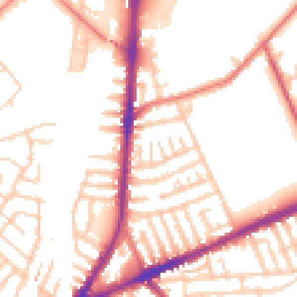
Daytime· 07:00 – 23:00
52.6dB

Night-time· 23:00 – 07:00
43.0dB