6 Lunesdale Avenue, Liverpool, L9 0LA
About 6 Lunesdale Avenue
6 Lunesdale Avenue is a mid-terrace house in Liverpool (L9 0LA). It has a recorded floor area of 87 m² (around 936 sq ft), construction records dating it to 1900-1929 and council tax band A. The latest certificate (December 2011) shows a G (score 16), near the bottom of the EPC scale. Main heating runs on to be used only when there is no heating/hot. The latest certificate is from December 2011, so improvements made since then won't be reflected.
On energy efficiency it sits in the bottom 10% of properties in this postcode — significant headroom for improvement. On the market in July 2012 and unlisted since — roughly 14 years. Today's modelled estimate of £123,000 is 48.2% above the 2012 sale price.
Know exactly what you're buying at 6 Lunesdale Avenue
Before you offer, see what the listing won't tell you, the true value, the red flags and the full history.
Valuation
against the asking price
Risks
planning & flood
Sold prices
similar homes nearby
Trends
the local market
Energy performance
6 Lunesdale Avenue sits at the bottom of the postcode for energy efficiency — meaningful headroom to improve.
EPC Expired
This certificate is over 10 years old and is no longer valid.Expired 14 Dec 2021
EPC Rating
Planning history
6 Lunesdale Avenue has no planning applications on record.
Notable planning nearby
1applications of note in the surrounding area
Sales history & valuation
6 Lunesdale Avenue valuation sits well clear of the typical sold price in this postcode.
£123,000
Modelled from EPC, postcode comparables.
£83,000
Recorded with HM Land Registry.
Sales timeline
25 July 2012Most recent
£83,000
Median price across the last 5 sales in L9 0LA: £110,000 (2024–2018).
Nearby sales in L9 0LA
Everything we know about 6 Lunesdale Avenue, in one report
What it's really worth, what could be wrong, and the planning, sales and area data in full.
- Am I paying too much?
- Is something wrong with it?
- Is the agent's story true?
- Will it hold its value?

Versus other Lunesdale Avenue homes
EPC Rating for 6 Lunesdale Avenue lags the street by a wide margin.
Price per m²
£955
Street avg £1,136
Floor Area
87 m²
Street avg 91 m²
Habitable Rooms
5 rooms
Street avg 5 rooms
CO₂ Emissions
8.7 t/year
Street avg 5.5 t/year
Similar properties nearby
The neighbourhood at a glance
Rail-style transport is unusually close for this postcode.
Crime
33/mo
Steady year-on-year across the wider district.
Nearest stop
0.1 km
Church Avenue — bus stop.
Closest school
0.4 km
Longmoor Community Primary School. 36 schools nearby.
Go deeper on the local area
The full report breaks down crime, transport links, schools and air quality in depth.
Road noise across the postcode
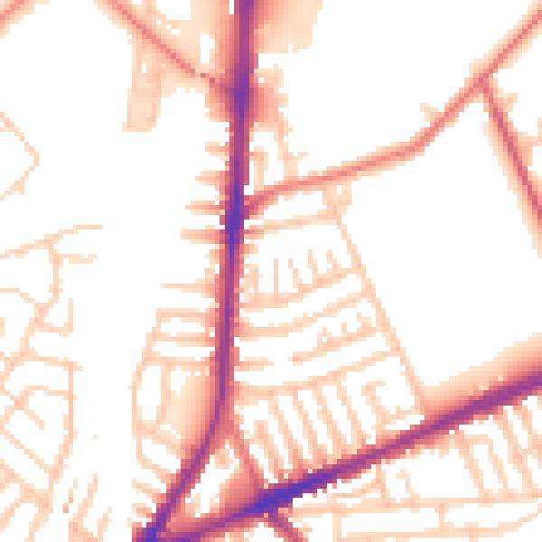
Daytime· 07:00 – 23:00
52.6dB

Night-time· 23:00 – 07:00
43.0dB