63 Bellamy Road, Liverpool, L4 3SB
About 63 Bellamy Road
63 Bellamy Road is a mid-terrace house in Liverpool (L4 3SB). It has a recorded floor area of 61 m² (around 657 sq ft), construction records dating it to 1900-1929 and council tax band A. The latest certificate (May 2023) shows a C (score 69), just inside the C band.
At 61 m² it's 29.1% smaller than the typical home in the postcode (86 m² median across 35 EPCs). Its energy rating outperforms most of the postcode (better than 77% of similar EPCs). Across 2000–2024, sale prices on this property compounded at 7.4% per year. On a £-per-square-foot basis, the last sale (£190/sq ft) was about 143.5% above the typical sold price in the postcode. Sold April 2024 for £125,000.
Know exactly what you're buying at 63 Bellamy Road
Before you offer, see what the listing won't tell you, the true value, the red flags and the full history.
Valuation
against the asking price
Risks
planning & flood
Sold prices
similar homes nearby
Trends
the local market
Energy performance
EPC Rating
Planning history
63 Bellamy Road has no planning applications on record.
The full report still covers planning activity across the surrounding area.
Sales history & valuation
63 Bellamy Road has more than quadrupled in price since its earliest registered sale in 2000.
£128,000
Modelled from EPC, postcode comparables and a sale-price growth of 7.4% per year over 24 years.
£125,000
Growth on file: 7.4% per year over 24 years.
Sales timeline
14 April 2024Most recent
£125,000
+58.2%over 18 years30 May 2005
£79,000
+243.5%over 4 years9 August 2000
£23,000
Median price across the last 5 sales in L4 3SB: £132,000 (2025–2023).
Everything we know about 63 Bellamy Road, in one report
What it's really worth, what could be wrong, and the planning, sales and area data in full.
- Am I paying too much?
- Is something wrong with it?
- Is the agent's story true?
- Will it hold its value?

Versus other Bellamy Road homes
On price per m², 63 Bellamy Road stands well clear of the street.
Price per m²
£2,049
Street avg £1,053
Floor Area
61 m²
Street avg 83 m²
Habitable Rooms
4 rooms
Street avg 5 rooms
CO₂ Emissions
2.5 t/year
Street avg 4.2 t/year
Similar properties nearby
The neighbourhood at a glance
Rail-style transport is unusually close for this postcode.
Crime
11/mo
Rising year-on-year across the wider district.
Nearest stop
0.2 km
Bedford Road — bus stop.
Closest school
0.1 km
St Francis de Sales Catholic Infant and Nursery School. 42 schools nearby.
Go deeper on the local area
The full report breaks down crime, transport links, schools and air quality in depth.
Road noise across the postcode
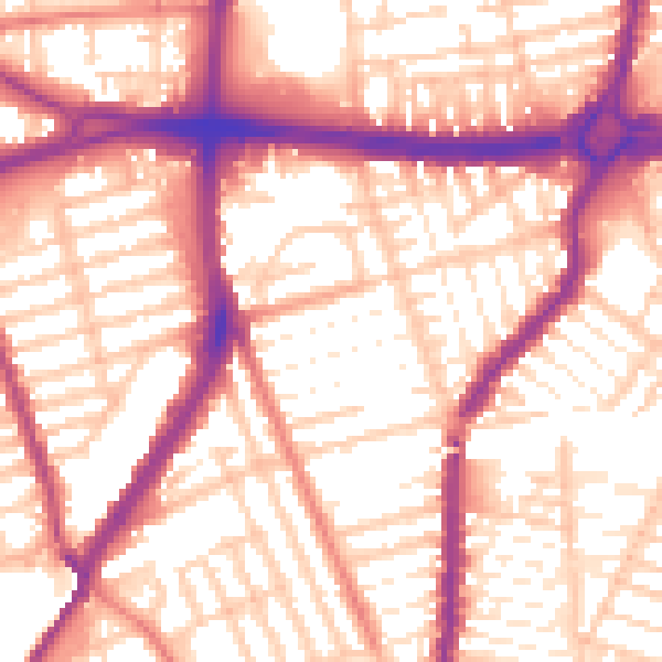
Daytime· 07:00 – 23:00
56.6dB

Night-time· 23:00 – 07:00
47.1dB