16 Humber Close, Liverpool, L4 1XN
About 16 Humber Close
16 Humber Close is an end-of-terrace house in Liverpool (L4 1XN). It has a recorded floor area of 59 m² (around 635 sq ft), construction records dating it to 1967-1975 and council tax band A. At 59 m² this is the 10th smallest of 21 units on EPC record in the building, where floor areas span 42–130 m². The building's EPC ratings span E to B across 21 units on file. The latest certificate (August 2018) shows a D (score 63), on the cusp of jumping into the C band. The recommended improvements would push it to C (score 76).
Today's modelled estimate of £114,000 is 39.9% above the 2023 sale price. On a £-per-square-foot basis, the last sale (£128/sq ft) was about 45.6% above the typical sold price in the postcode. Sold May 2023 for £81,500.
Know exactly what you're buying at 16 Humber Close
Before you offer, see what the listing won't tell you, the true value, the red flags and the full history.
Valuation
against the asking price
Risks
planning & flood
Sold prices
similar homes nearby
Trends
the local market
Energy performance
EPC Rating
Planning history
16 Humber Close has no planning applications on record.
Notable planning nearby
1applications of note in the surrounding area
Sales history & valuation
16 Humber Close valuation sits well clear of the typical sold price in this postcode.
£114,000
Modelled from EPC, postcode comparables and a sale-price growth of -0.1% per year over 4 years.
£81,500
Growth on file: -0.1% per year over 4 years.
Sales timeline
23 May 2023Most recent
£81,500
-0.6%over 4 years25 February 2019
£82,000
Median price across the last 5 sales in L4 1XN: £70,000 (2023–2014).
Everything we know about 16 Humber Close, in one report
What it's really worth, what could be wrong, and the planning, sales and area data in full.
- Am I paying too much?
- Is something wrong with it?
- Is the agent's story true?
- Will it hold its value?

Versus other Humber Close homes
On co₂ emissions, 16 Humber Close runs well behind the street norm.
Price per m²
£1,381
Street avg £930
Floor Area
59 m²
Street avg 49 m²
Habitable Rooms
3 rooms
Street avg 3 rooms
CO₂ Emissions
3.0 t/year
Street avg 1.7 t/year
Similar properties nearby
The neighbourhood at a glance
Rail-style transport is unusually close for this postcode.
Crime
11/mo
Rising year-on-year across the wider district.
Nearest stop
0.1 km
Tawd Street — bus stop.
Closest school
0.4 km
Kirkdale St Lawrence CofE VA Primary School. 37 schools nearby.
Go deeper on the local area
The full report breaks down crime, transport links, schools and air quality in depth.
Road noise across the postcode
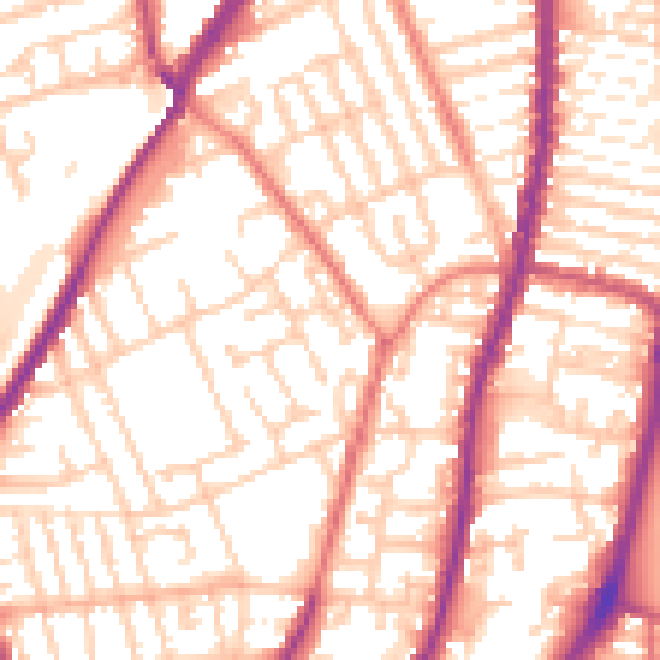
Daytime· 07:00 – 23:00
55.4dB

Night-time· 23:00 – 07:00
45.2dB