14 Eltham Avenue, Liverpool, L21 9LL
About 14 Eltham Avenue
14 Eltham Avenue is a mid-terrace house in Liverpool (L21 9LL). It has a recorded floor area of 85 m² (around 919 sq ft), construction records dating it to 1930-1949 and council tax band B. The latest certificate (May 2010) shows a D (score 60), on the cusp of jumping into the C band. The recommended improvements would push it to C (score 75). The latest certificate is from May 2010, so improvements made since then won't be reflected.
One planning record on file: an extension approved in 2002. Past consents include an extension and a conservatory, meaningful when judging how the property has evolved. Today's modelled estimate of £184,000 is 49.6% above the 2011 sale price. On a £-per-square-foot basis, the last sale (£134/sq ft) was about 23.3% below the postcode norm. 15 years since the last transfer (August 2011).
Everything you need to know about 14 Eltham Avenue
The true value, the hidden risks and the full sale history, in one report.
30-day money-back guarantee

The data behind every report


Energy performance
14 Eltham Avenue's EPC is over a decade old — improvements since won't be reflected.
EPC Expired
This certificate is over 10 years old and is no longer valid.Expired 12 May 2020
EPC Rating
Planning history
14 Eltham Avenue has an approved rear extension on the planning record.
- Nov 2002ConservatoryFullIn report
Extension: Rear of property
Erection of a conservatory at the rear of the dwellinghouse
Extension- Reference
- S/2002/0950
What's in 14 Eltham Avenue, Liverpool, L21 9LL's planning history?
Refusals, disputes and full decisions on this property and nearby, in the report.
Sales history & valuation
£184,000
Modelled from EPC, postcode comparables.
£123,000
Recorded with HM Land Registry.
Sales timeline
3 August 2011Most recent
£123,000
Median price across the last 5 sales in L21 9LL: £165,000 (2025–2023).
Nearby sales in L21 9LL
Versus other Eltham Avenue homes
Price per m² for 14 Eltham Avenue lags the street by a wide margin.
Price per m²
£1,440
Street avg £2,108
Floor Area
85 m²
Street avg 80 m²
Habitable Rooms
4 rooms
Street avg 5 rooms
CO₂ Emissions
4.6 t/year
Street avg 4.0 t/year
Everything you need to know about 14 Eltham Avenue
The true value, the hidden risks and the full sale history, in one report.
30-day money-back guarantee
The data behind every report
Similar properties nearby
1 Caledonian Crescent
L21 9QA
1 Delph Court, Field Lane, Litherland
L21 9PJ
1 Caldon Close
L21 9PZ
1 Eltham Avenue
L21 9LL
1 Maple Court, Mitchell Crescent
L21 9PF
1 Canal View Court, Field Lane, Litherland
L21 9QE
1 Barton Close
L21 9NT
1 Newlyn Avenue, Litherland
L21 9LD
The neighbourhood at a glance
Reported crime in the wider district is trending notably upward year-on-year.
Crime
4/mo
Rising year-on-year across the wider district.
Nearest stop
0.2 km
Sonning Avenue — bus stop.
Closest school
0.2 km
Hatton Hill Primary School. 39 schools nearby.
Go deeper on the local area
The full report breaks down crime, transport links, schools and air quality in depth.
Road noise across the postcode
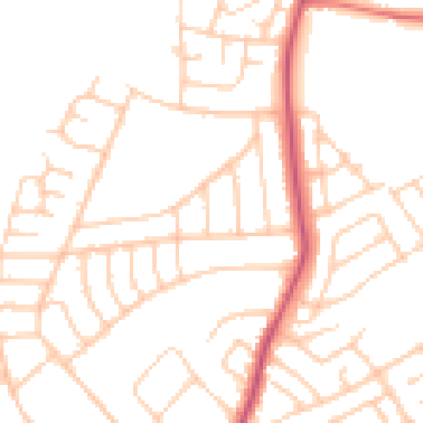
Daytime· 07:00 – 23:00
49.3dB

Night-time· 23:00 – 07:00
39.2dB