8 Eltham Avenue, Liverpool, L21 9LL
About 8 Eltham Avenue
8 Eltham Avenue is a three-bedroom mid-terrace house in Liverpool (L21 9LL). It has a recorded floor area of 82 m² (around 883 sq ft), construction records dating it to 1930-1949 and council tax band B. The latest certificate (April 2016) shows a D (score 61), on the cusp of jumping into the C band. The recommended improvements would lift it to B (score 85), a 2-band jump. The latest certificate is from April 2016, so improvements made since then won't be reflected. Records show the property has been extended at some point in its history.
Most recent transfer was December 2024 at £200,000 — fresh data. Across 1999–2024, sale prices on this property compounded at 5.5% per year. On a £-per-square-foot basis, the last sale (£227/sq ft) was about 29.9% above the typical sold price in the postcode.
What this property has
Inside
- Bedrooms3
- Bathrooms1
- Open-plan layoutYes
- Dining roomYes
Outside
- Private gardenRear
Building
- Central heatingYes
- Previously extendedYes
- RefurbishedYes
Everything you need to know about 8 Eltham Avenue
The true value, the hidden risks and the full sale history, in one report.
30-day money-back guarantee

The data behind every report


Energy performance
Recommended upgrades on file would lift this property by multiple EPC bands.
EPC Expired
This certificate is over 10 years old and is no longer valid.Expired 06 Apr 2026
EPC Rating
Planning history
8 Eltham Avenue has no planning applications on record.
Notable planning nearby
1applications of note in the surrounding area
Sales history & valuation
Latest sale on 8 Eltham Avenue was the highest on Land Registry record across the postcode.
£219,000
Modelled from EPC, postcode comparables and a sale-price growth of 5.5% per year over 25 years.
£200,000
Growth on file: 5.5% per year over 25 years.
Sales timeline
9 December 2024Most recent
£200,000
+33.3%over 5 years19 December 2018
£150,000
+188.5%over 19 years8 November 1999
£52,000
Median price across the last 5 sales in L21 9LL: £149,523 (2025–2020).
Nearby sales in L21 9LL
Versus other Eltham Avenue homes
Price per m² for 8 Eltham Avenue runs comfortably ahead of the street norm.
Price per m²
£2,439
Street avg £1,965
Floor Area
82 m²
Street avg 81 m²
Habitable Rooms
5 rooms
Street avg 5 rooms
CO₂ Emissions
4.1 t/year
Street avg 4.0 t/year
Everything you need to know about 8 Eltham Avenue
The true value, the hidden risks and the full sale history, in one report.
30-day money-back guarantee
The data behind every report
Similar properties nearby
1 Newlyn Avenue, Litherland
L21 9LD
1 Brindley Close
L21 9NR
1 Eltham Avenue
L21 9LL
1 Enstone Avenue
L21 9LH
1 Litherland Park
L21 9HP
1 Lowden Avenue
L21 9JE
1 Greenfield Lane
L21 9NP
1 Canal View Court, Field Lane, Litherland
L21 9QE
The neighbourhood at a glance
Reported crime in the wider district is trending notably upward year-on-year.
Crime
4/mo
Rising year-on-year across the wider district.
Nearest stop
0.2 km
Sonning Avenue — bus stop.
Closest school
0.2 km
Hatton Hill Primary School. 39 schools nearby.
Go deeper on the local area
The full report breaks down crime, transport links, schools and air quality in depth.
Road noise across the postcode
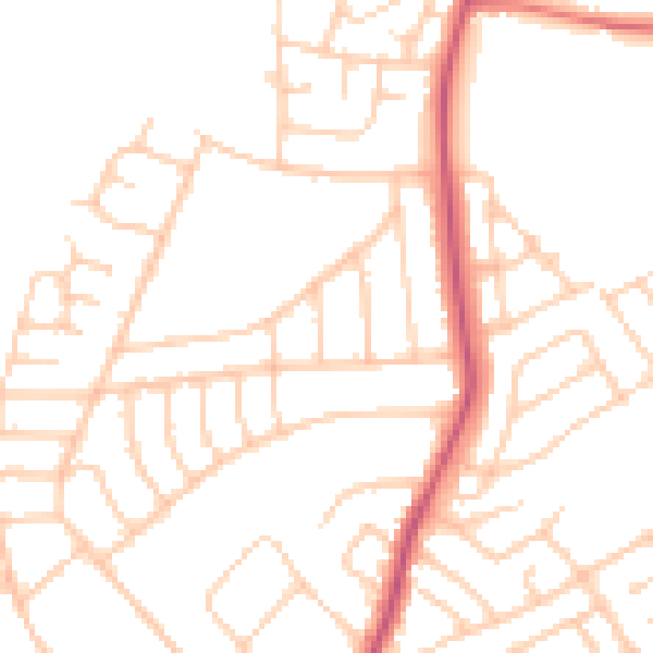
Daytime· 07:00 – 23:00
49.3dB

Night-time· 23:00 – 07:00
39.2dB