39a, Litherland Park, Liverpool, L21 9HP
About 39a
39a is a three-bedroom semi-detached house in Liverpool (L21 9HP). It has a recorded floor area of 228 m² (around 2454 sq ft), construction records dating it to before 1900 and council tax band D. The latest certificate (May 2018) shows an E (score 42), well below the UK norm with real room to improve. The recommended improvements would lift it to B (score 81), a 3-band jump. Other recorded features include a conservatory and a loft.
Held since August 2004 — that's 22 years off the open market, well above the local norm. At 228 m² the property is well over the postcode median (140 m² across 40 EPCs), placing it in the larger end of the local stock. 3 planning records sit against the property, 1 approved, 1 refused. Past consents include tree works, meaningful when judging how the property has evolved. Across 1999–2004, sale prices on this property compounded at 20.5% per year. Today's modelled estimate of £266,000 is 47.8% above the 2004 sale price. On a £-per-square-foot basis, the last sale (£73/sq ft) was about 42% below the postcode norm.
What this property has
Inside
- Bedrooms3
- Dining roomYes
- LoftYes
- ConservatoryYes
Outside
- Private gardenYes
- GarageYes
Building
- Heating systemGas
Everything you need to know about 39a
The true value, the hidden risks and the full sale history, in one report.
30-day money-back guarantee

The data behind every report


Energy performance
39a's carbon output runs well above what efficient homes in the postcode produce.
EPC Rating
Planning history
- Dec 2021ExtensionOutlineIn report
Extension: Single storey · Rear of property
Certificate of Lawfulness for the proposed single storey extension to the rear of the dwellinghouse.
- Agent
- Malbrean Design 2
- Documents
- 14 docs on file
- Reference
- DC/2021/02543
- Dec 2019Tree WorksTreesIn report
Tree Preservation Order application to fell 1No. Lime tree (lies within TPO24).
- Documents
- 11 docs on file
- Reference
- DC/2019/01903
What's in 39a, Litherland Park, Liverpool, L21 9HP's planning history?
1 more on this property, plus refusals, disputes and full decisions nearby, in the report.
Sales history & valuation
Sale price has at least doubled since 1999.
£266,000
Modelled from EPC, postcode comparables and a sale-price growth of 20.5% per year over 5 years.
£179,950
Growth on file: 20.5% per year over 5 years.
Sales timeline
2 August 2004Most recent
£179,950
+144.8%over 4 years14 October 1999
£73,500
Median price across the last 5 sales in L21 9HP: £312,500 (2025–2019).
Nearby sales in L21 9HP
Versus other Litherland Park homes
On price per m², 39a runs well behind the street norm.
Price per m²
£789
Street avg £1,650
Floor Area
228 m²
Street avg 170 m²
Habitable Rooms
9 rooms
Street avg 7 rooms
CO₂ Emissions
15.0 t/year
Street avg 9.6 t/year
Everything you need to know about 39a
The true value, the hidden risks and the full sale history, in one report.
30-day money-back guarantee
The data behind every report
Similar properties nearby
1 Litherland Park
L21 9HP
1 Enstone Avenue
L21 9LH
1 Brindley Close
L21 9NR
1 Newlyn Avenue, Litherland
L21 9LD
1 Eltham Avenue
L21 9LL
1 Lowden Avenue
L21 9JE
1 Greenfield Lane
L21 9NP
1 Canal View Court, Field Lane, Litherland
L21 9QE
The neighbourhood at a glance
Rail-style transport is unusually close for this postcode.
Crime
4/mo
Rising year-on-year across the wider district.
Nearest stop
0.2 km
Hatton Hill Park — bus stop.
Closest school
0.4 km
English Martyrs' Catholic Primary School. 37 schools nearby.
Go deeper on the local area
The full report breaks down crime, transport links, schools and air quality in depth.
Road noise across the postcode
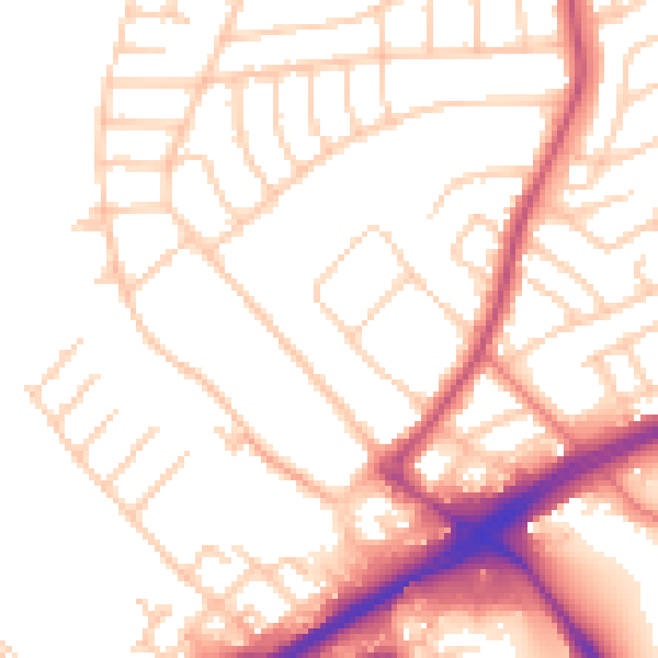
Daytime· 07:00 – 23:00
52.2dB

Night-time· 23:00 – 07:00
42.3dB